Ringwood Suburbs & Region, Ringwood Map & Postcodes
Ringwood Suburbs & Region, Ringwood Map & Postcodes in Ringwood, Whitehorse East, Melbourne Outer East, VIC, AU
Ringwood Region
Region Name
Ringwood (VIC, AU)Ringwood Area
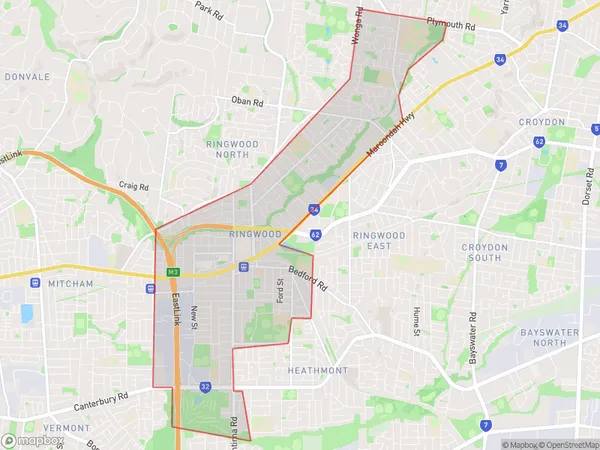
9.91 square kilometers (9.91 ㎢)Postal Codes
3134 (In total, there are 1 postcodes in Ringwood.)Ringwood Suburb Area Map (Polygon)
Australia State
City or Big Region
Greater Capital City
Greater Melbourne (2GMEL)District or Regional Area
Suburb Name
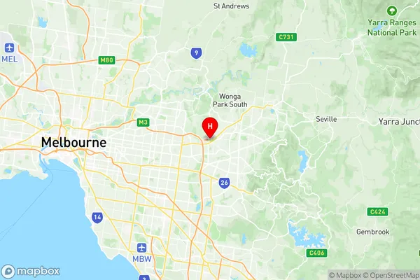
Ringwood Region Map
Ringwood Postcodes / Zip Codes
Ringwood Suburbs
Ringwood full address
Ringwood, Whitehorse East, Melbourne Outer East, Victoria, VIC, Australia, SaCode: 211031266Country
Ringwood, Whitehorse East, Melbourne Outer East, Victoria, VIC, Australia, SaCode: 211031266
Ringwood Suburbs & Region, Ringwood Map & Postcodes has 0 areas or regions above, and there are 1 Ringwood suburbs below. The sa2code for the Ringwood region is 211031266. Its latitude and longitude coordinates are -37.8106,145.231. Ringwood area belongs to Australia's greater capital city Greater Melbourne.
Ringwood Suburbs & Localities
1. Ringwood