Heathwood Area, Heathwood Postcode(3134) & Map in Heathwood, Melbourne - Outer East, VIC
Heathwood Area, Heathwood Postcode(3134) & Map in Heathwood, Melbourne - Outer East, VIC, AU, Postcode: 3134
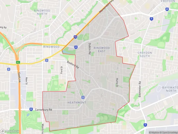
Heathwood, Ringwood East, Maroondah, Melbourne - Outer East, Victoria, Australia, 3134
Heathwood Postcode
Area Name
HeathwoodHeathwood Suburb Area Map (Polygon)
Heathwood Introduction
Heathwood is a suburb of Melbourne, located in the outer east of the state of Victoria, Australia. It is known for its natural beauty, including parks, gardens, and reserves, as well as its convenient location close to the city center.State Name
City or Big Region
District or Regional Area
Suburb Name
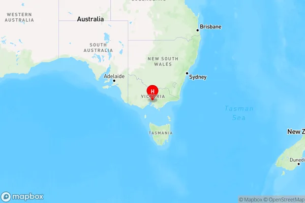
Heathwood Region Map
Country
Main Region in AU
R1Coordinates
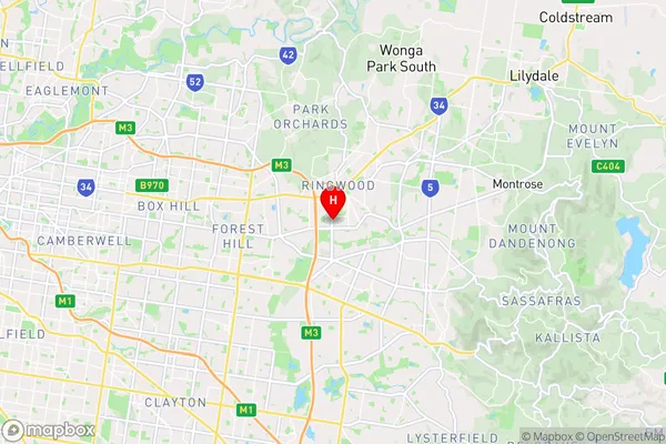
-37.8292,145.228 (latitude/longitude)Heathwood Area Map (Street)
Longitude
145.257929Latitude
-37.823058Heathwood Elevation
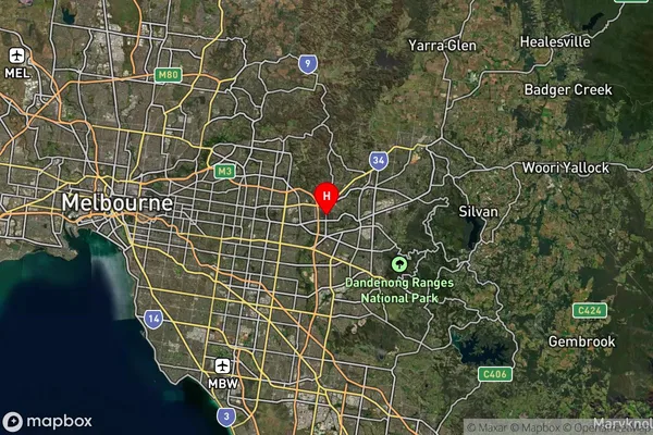
about 149.23 meters height above sea level (Altitude)Heathwood Suburb Map (Satellite)
Distances
The distance from Heathwood, Melbourne - Outer East, VIC to AU Greater Capital CitiesSA1 Code 2011
21103126745SA1 Code 2016
21103126745SA2 Code
211031267SA3 Code
21103SA4 Code
211RA 2011
1RA 2016
1MMM 2015
1MMM 2019
1Charge Zone
V1LGA Region
MaroondahLGA Code
24410Electorate
Menzies