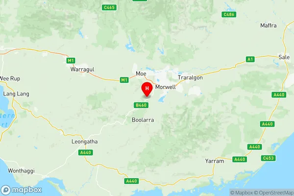
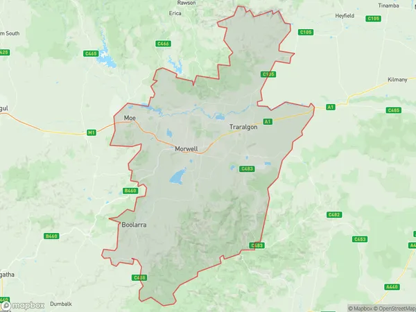
Latrobe Valley Suburbs & Region, Latrobe Valley Map & Postcodes
Latrobe Valley Suburbs & Region, Latrobe Valley Map & Postcodes in Latrobe Valley, Latrobe Gippsland, VIC, AU
Latrobe Valley Region
Region Name
Latrobe Valley (VIC, AU)Latrobe Valley Area
1480 square kilometers (1,480 ㎢)Postal Codes
3840, 3842, 3869, and 3871 (In total, there are 4 postcodes in Latrobe Valley.)Latrobe Valley Introduction
Latrobe Valley is a region located in the Gippsland region of Victoria, Australia. It is known for its rich coal resources and is home to the largest coal-fired power station in the country. The valley has a diverse economy, including agriculture, manufacturing, and tourism. The region is also home to many historic sites, including the Latrobe Valley Power Station, the Traralgon Railway Museum, and the Morwell Centenary Park. Latrobe Valley is located approximately 150 kilometers east of Melbourne and is surrounded by beautiful natural scenery, including the Great Dividing Range and the Mount Baw Baw National Park.Australia State
City or Big Region
District or Regional Area
Latrobe Valley Region Map

Latrobe Valley Postcodes / Zip Codes
Latrobe Valley Suburbs
Trafalgar (Vic.)
Latrobe Valley full address
Latrobe Valley, Latrobe Gippsland, Victoria, VIC, Australia, SaCode: 20504Country
Latrobe Valley, Latrobe Gippsland, Victoria, VIC, Australia, SaCode: 20504
Latrobe Valley Suburbs & Region, Latrobe Valley Map & Postcodes has 3 areas or regions above, and there are 25 Latrobe Valley suburbs below. The sa3code for the Latrobe Valley region is 20504. Its latitude and longitude coordinates are -38.2851,146.296.
Latrobe Valley Suburbs & Localities
1. Jeeralang
2. Morwell
3. Churchill
4. Dollar
5. Maryvale
6. Yinnar
7. Allambee South
8. Baromi
9. Mirboo North
10. Tarwin East
11. Driffield
12. Hazelwood
13. Hazelwood North
14. Jeeralang Junction
15. Mid Valley
16. Morwell East
17. Hazelwood South
18. Morwell Upper
19. Jumbuk
20. Yinnar South
21. Allambee Reserve
22. Darlimurla
23. Delburn
24. Limonite
25. Mirboo
