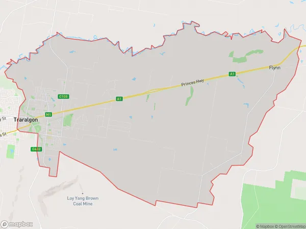
Traralgon East Suburbs & Region, Traralgon East Map & Postcodes
Traralgon East Suburbs & Region, Traralgon East Map & Postcodes in Traralgon East, Latrobe Valley, Latrobe Gippsland, VIC, AU
Traralgon East Region
Region Name
Traralgon East (VIC, AU)Traralgon East Area
108.33 square kilometers (108.33 ㎢)Traralgon East Introduction
Traralgon East is a locality in the Latrobe Valley region of Victoria, Australia. It is located in the City of Latrobe, and is in the local government area of the Shire of Buloke. The post office opened as Traralgon on 1 October 1891 and was closed on 1 March 1927. The name was changed to Traralgon East on 1 July 1928. The town is located on the Princes Highway, and is about 165 km east of Melbourne. It is a major agricultural area, with a number of wineries and breweries. The town also has a railway station, and is served by V/Line trains to Melbourne.Australia State
City or Big Region
Greater Capital City
Rest of Vic. (2RVIC)District or Regional Area
Suburb Name
Traralgon East Suburbs
Traralgon East full address
Traralgon East, Latrobe Valley, Latrobe Gippsland, Victoria, VIC, Australia, SaCode: 205041493Country
Traralgon East, Latrobe Valley, Latrobe Gippsland, Victoria, VIC, Australia, SaCode: 205041493
Traralgon East Suburbs & Region, Traralgon East Map & Postcodes has 0 areas or regions above, and there are 0 Traralgon East suburbs below. The sa2code for the Traralgon East region is 205041493. Traralgon East area belongs to Australia's greater capital city Rest of Vic..
