Trafalgar (Vic.) Suburbs & Region, Trafalgar (Vic.) Map & Postcodes
Trafalgar (Vic.) Suburbs & Region, Trafalgar (Vic.) Map & Postcodes in Trafalgar (Vic.), Latrobe Valley, Latrobe Gippsland, VIC, AU
Trafalgar (Vic.) Region
Region Name
Trafalgar (Vic.) (VIC, AU)Trafalgar (Vic.) Area
501.53 square kilometers (501.53 ㎢)Postal Codes
3821, from 3823 to 3825, 3835, and 3871 (In total, there are 6 postcodes in Trafalgar (Vic.).)Trafalgar (Vic.) Introduction
Trafalgar is a locality in the local government area of the Shire of Buloke, Victoria, Australia. It is located 316 km north-east of Melbourne, on the Princes Highway. The post office opened as Trafalgar on 1 November 1891 and was closed on 1 March 1971. The town was named after the Battle of Trafalgar. The Trafalgar railway station was located on the North East line. It was opened in 1889 and closed in 1978. The Trafalgar Football Club was formed in 1922 and competes in the Buloke Football League. The Trafalgar Primary School opened in 1892 and closed in 1994. The Trafalgar Memorial Hall was built in 1927. The Trafalgar Golf Club was founded in 1929 and is located on the Princes Highway. The Trafalgar Football Netball Club was formed in 1936 and competes in the Buloke Football League. The Trafalgar Cricket Club was formed in 1937 and competes in the Central Gippsland Cricket Association. The Trafalgar Show Society holds an annual show in October. The Trafalgar Fire Brigade was formed in 1946 and is located on the Princes Highway. The brigade is a volunteer-basedAustralia State
City or Big Region
Greater Capital City
Rest of Vic. (2RVIC)District or Regional Area
Suburb Name
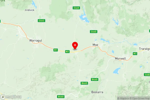
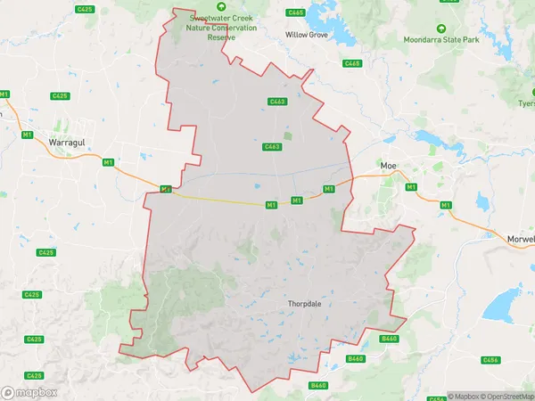
Trafalgar (Vic.) Region Map

Trafalgar (Vic.) Postcodes / Zip Codes
Trafalgar (Vic.) Suburbs
Trafalgar (Vic.) full address
Trafalgar (Vic.), Latrobe Valley, Latrobe Gippsland, Victoria, VIC, Australia, SaCode: 205011078Country
Trafalgar (Vic.), Latrobe Valley, Latrobe Gippsland, Victoria, VIC, Australia, SaCode: 205011078
Trafalgar (Vic.) Suburbs & Region, Trafalgar (Vic.) Map & Postcodes has 0 areas or regions above, and there are 14 Trafalgar (Vic.) suburbs below. The sa2code for the Trafalgar (Vic.) region is 205011078. Its latitude and longitude coordinates are -38.2,146.15. Trafalgar (Vic.) area belongs to Australia's greater capital city Rest of Vic..
Trafalgar (Vic.) Suburbs & Localities
1. Thorpdale South
2. Trafalgar South
3. Yarragon
4. Childers
5. Trafalgar East
6. Allambee
7. Yarragon South
8. Shady Creek
9. Narracan
10. Trafalgar
11. Coalville
12. Thorpdale
13. Allambee Reserve
14. Delburn
