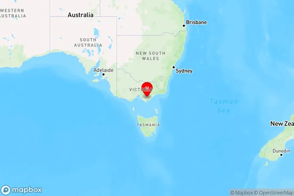
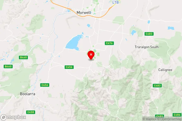
Churchill Area, Churchill Postcode(3842) & Map in Churchill, Latrobe - Gippsland, VIC
Churchill Area, Churchill Postcode(3842) & Map in Churchill, Latrobe - Gippsland, VIC, AU, Postcode: 3842
Churchill, Churchill, Latrobe Valley, Latrobe - Gippsland, Victoria, Australia, 3842
Churchill Postcode
Area Name
ChurchillChurchill Suburb Area Map (Polygon)

State Name
City or Big Region
District or Regional Area
Suburb Name
Churchill Region Map

Country
Main Region in AU
R3Coordinates
-38.3219988,146.4160017 (latitude/longitude)Churchill Area Map (Street)

Longitude
146.414358Latitude
-38.315452Churchill Suburb Map (Satellite)
Not available for nowDistances
The distance from Churchill, Latrobe - Gippsland, VIC to AU Greater Capital CitiesSA1 Code 2011
20504109418SA1 Code 2016
20504109418SA2 Code
205041094SA3 Code
20504SA4 Code
205RA 2011
2RA 2016
2MMM 2015
3MMM 2019
3Charge Zone
V2LGA Region
LatrobeLGA Code
23810Electorate
Gippsland