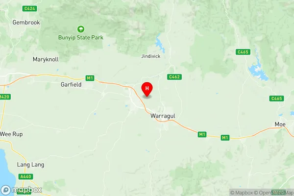
Drouin Suburbs & Region, Drouin Map & Postcodes
Drouin Suburbs & Region, Drouin Map & Postcodes in Drouin, Baw Baw, Latrobe Gippsland, VIC, AU
Drouin Region
Region Name
Drouin (VIC, AU)Drouin Area
326.81 square kilometers (326.81 ㎢)Drouin Introduction
Drouin is a small township in the Gippsland region of Victoria, Australia. It is located in the Shire of Buloke, approximately 160 kilometers east of Melbourne. The town is known for its agricultural industry, particularly its production of wheat and sheep. Drouin has a population of around 3,000 people and is surrounded by beautiful countryside. The town has a primary school, a post office, a supermarket, a hotel, and a variety of other services. The nearby Drouin National Park is a popular destination for bushwalkers and nature lovers, with its diverse range of flora and fauna. The town also hosts the annual Drouin Country Music Festival, which attracts thousands of visitors each year.Australia State
City or Big Region
Greater Capital City
Rest of Vic. (2RVIC)District or Regional Area
Suburb Name
Drouin Region Map

Drouin Suburbs
Drouin full address
Drouin, Baw Baw, Latrobe Gippsland, Victoria, VIC, Australia, SaCode: 205011076Country
Drouin, Baw Baw, Latrobe Gippsland, Victoria, VIC, Australia, SaCode: 205011076
Drouin Suburbs & Region, Drouin Map & Postcodes has 0 areas or regions above, and there are 0 Drouin suburbs below. The sa2code for the Drouin region is 205011076. Its latitude and longitude coordinates are -38.1196,145.889. Drouin area belongs to Australia's greater capital city Rest of Vic..
