Longwarry Area, Longwarry Postcode(3816) & Map in Longwarry, Latrobe - Gippsland, VIC
Longwarry Area, Longwarry Postcode(3816) & Map in Longwarry, Latrobe - Gippsland, VIC, AU, Postcode: 3816
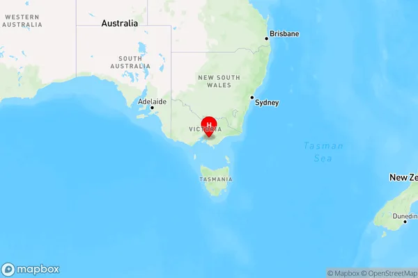
Longwarry, Drouin, Baw Baw, Latrobe - Gippsland, Victoria, Australia, 3816
Longwarry Postcode
Area Name
LongwarryLongwarry Suburb Area Map (Polygon)

Longwarry Introduction
Longwarry is a town in the Latrobe region of Gippsland, Victoria, Australia. It is located on the Latrobe River and is known for its agricultural industry, including dairy farming and timber production. Longwarry has a population of around 1,500 people and is a popular tourist destination, with many attractions including the Longwarry Wetlands and the Longwarry Rail Trail.State Name
City or Big Region
District or Regional Area
Suburb Name
Longwarry Region Map
Country
Main Region in AU
R3Coordinates
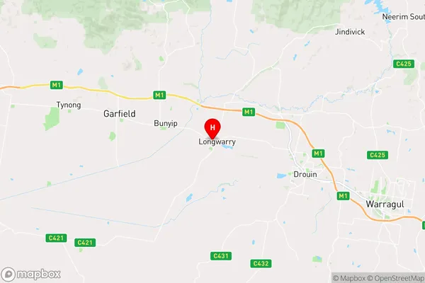
-38.1110794,145.7663288 (latitude/longitude)Longwarry Area Map (Street)
Longitude
145.787991Latitude
-38.043542Longwarry Elevation
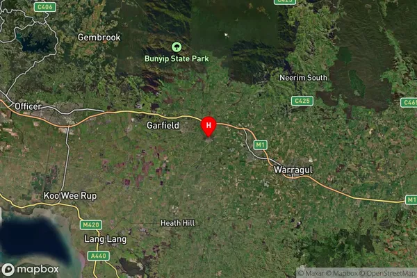
about 71.91 meters height above sea level (Altitude)Longwarry Suburb Map (Satellite)
Distances
The distance from Longwarry, Latrobe - Gippsland, VIC to AU Greater Capital CitiesSA1 Code 2011
20501107616SA1 Code 2016
20501107616SA2 Code
205011076SA3 Code
20501SA4 Code
205RA 2011
2RA 2016
2MMM 2015
4MMM 2019
4Charge Zone
V2LGA Region
Unincorporated VicLGA Code
29399Electorate
Monash