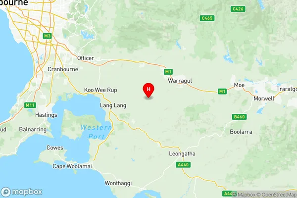
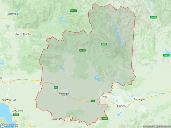
Baw Baw Suburbs & Region, Baw Baw Map & Postcodes
Baw Baw Suburbs & Region, Baw Baw Map & Postcodes in Baw Baw, Latrobe Gippsland, VIC, AU
Baw Baw Region
Region Name
Baw Baw (VIC, AU)Baw Baw Area
3934 square kilometers (3,934 ㎢)Postal Codes
3818, from 3820 to 3824, 3831, and 3832 (In total, there are 8 postcodes in Baw Baw.)Baw Baw Introduction
Baw Baw is a locality in the Shire of Buloke, Victoria, Australia. It is located 265 km north-east of Melbourne, in the Gippsland region. Baw Baw is named after the mountain of the same name, which is located nearby. The town has a population of around 1,000 people and is a popular tourist destination for its scenic surroundings and outdoor activities. The town is home to the Baw Baw National Park, which covers over 1,000 hectares and is a popular destination for hiking, camping, and wildlife watching. The town also has a golf course, a swimming pool, and a community hall.Australia State
City or Big Region
District or Regional Area
Baw Baw Region Map

Baw Baw Postcodes / Zip Codes
Baw Baw Suburbs
Baw Baw full address
Baw Baw, Latrobe Gippsland, Victoria, VIC, Australia, SaCode: 20501Country
Baw Baw, Latrobe Gippsland, Victoria, VIC, Australia, SaCode: 20501
Baw Baw Suburbs & Region, Baw Baw Map & Postcodes has 1 areas or regions above, and there are 50 Baw Baw suburbs below. The sa3code for the Baw Baw region is 20501. Its latitude and longitude coordinates are -38.2387,145.759.
Baw Baw Suburbs & Localities
1. Athlone
2. Drouin
3. Hallora
4. Brandy Creek
5. Buln Buln
6. Nilma North
7. Cloverlea
8. Thorpdale South
9. Trafalgar South
10. Neerim East
11. Nayook
12. Drouin South
13. Jindivick
14. Tarago
15. Lillico
16. Buln Buln East
17. Ellinbank
18. Lardner
19. Nayook
20. Rokeby
21. Tetoora Road
22. Gainsborough
23. Yarragon
24. Childers
25. Trafalgar East
26. Neerim South
27. Neerim North
28. Drouin East
29. Ripplebrook
30. Crossover
31. Ferndale
32. Nilma
33. Seaview
34. Torwood
35. Warragul West
36. Allambee
37. Yarragon South
38. Neerim
39. Neerim Junction
40. Drouin West
41. Bona Vista
42. Warragul
43. Bravington
44. Neerim Junction
45. Neerim North
46. Shady Creek
47. Warragul South
48. Darnum
49. Narracan
50. Trafalgar
