Drouin East Area, Drouin East Postcode(3818) & Map in Drouin East, Latrobe - Gippsland, VIC
Drouin East Area, Drouin East Postcode(3818) & Map in Drouin East, Latrobe - Gippsland, VIC, AU, Postcode: 3818
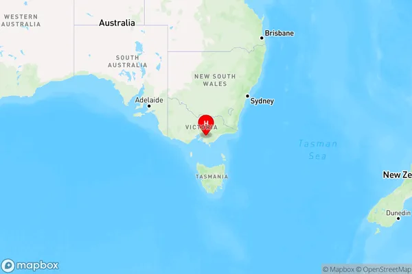
Drouin East, Drouin, Baw Baw, Latrobe - Gippsland, Victoria, Australia, 3818
Drouin East Postcode
Area Name
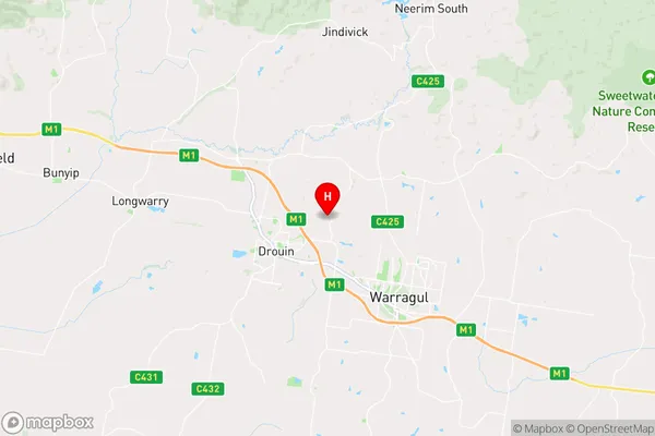
Drouin EastDrouin East Suburb Area Map (Polygon)

Drouin East Introduction
Drouin East is a suburb of Latrobe, Gippsland, VIC, AU, located 12 km east of the city center. It is known for its rural landscape, with many farms and wineries in the area. The suburb has a population of approximately 10,000 people and is home to several schools, including Drouin Secondary College and St. Anne's Primary School.State Name
City or Big Region
District or Regional Area
Suburb Name
Drouin East Region Map
Country
Main Region in AU
R3Coordinates
-38.1195925,145.8885379 (latitude/longitude)Drouin East Area Map (Street)
Longitude
145.867337Latitude
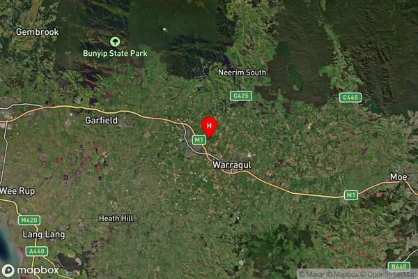
-38.096289Drouin East Suburb Map (Satellite)
Distances
The distance from Drouin East, Latrobe - Gippsland, VIC to AU Greater Capital CitiesSA1 Code 2011
20501107612SA1 Code 2016
20501107612SA2 Code
205011076SA3 Code
20501SA4 Code
205RA 2011
2RA 2016
2MMM 2015
4MMM 2019
4Charge Zone
V2LGA Region
Unincorporated VicLGA Code
29399Electorate
Monash