Rokeby Area, Rokeby Postcode(3821) & Map in Rokeby, Latrobe - Gippsland, VIC
Rokeby Area, Rokeby Postcode(3821) & Map in Rokeby, Latrobe - Gippsland, VIC, AU, Postcode: 3821
Rokeby, Mount Baw Baw Region, Baw Baw, Latrobe - Gippsland, Victoria, Australia, 3821
Rokeby Postcode
Area Name
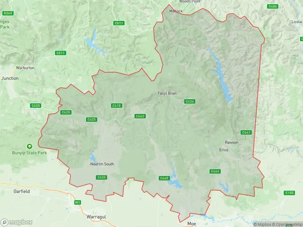
RokebyRokeby Suburb Area Map (Polygon)
Rokeby Introduction
Rokeby is a small town in Gippsland, Victoria, Australia, located on the Bass Coast Highway. It is known for its scenic beauty, including the nearby Ninety Mile Beach and the Latrobe River. The town has a population of around 1,000 people and is a popular destination for tourists and locals alike.State Name
City or Big Region
District or Regional Area
Suburb Name
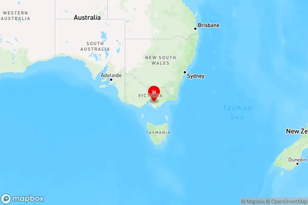
Rokeby Region Map
Country
Main Region in AU
R3Coordinates
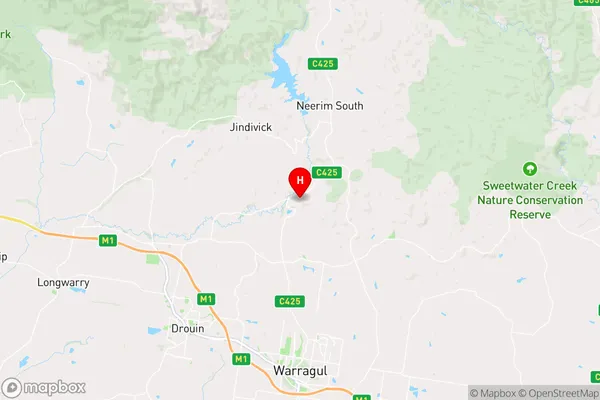
-38.066667,145.933333 (latitude/longitude)Rokeby Area Map (Street)
Longitude
145.945214Latitude
-37.919937Rokeby Elevation
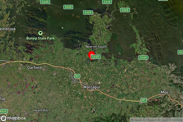
about 161.04 meters height above sea level (Altitude)Rokeby Suburb Map (Satellite)
Distances
The distance from Rokeby, Latrobe - Gippsland, VIC to AU Greater Capital CitiesSA1 Code 2011
20501107715SA1 Code 2016
20501107715SA2 Code
205011077SA3 Code
20501SA4 Code
205RA 2011
2RA 2016
2MMM 2015
5MMM 2019
5Charge Zone
V2LGA Region
Unincorporated VicLGA Code
29399Electorate
Monash