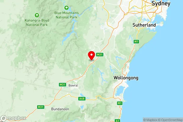
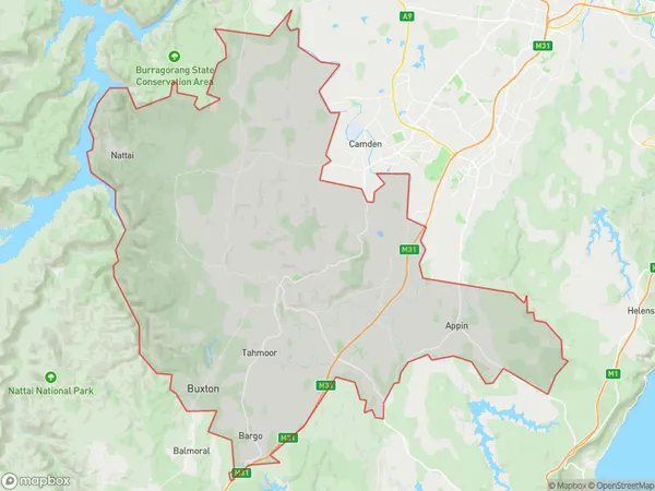
Wollondilly Suburbs & Region, Wollondilly Map & Postcodes
Wollondilly Suburbs & Region, Wollondilly Map & Postcodes in Wollondilly, Sydney Outer South West, NSW, AU
Wollondilly Region
Region Name
Wollondilly (NSW, AU)Wollondilly Area
870.36 square kilometers (870.36 ㎢)Postal Codes
2560, 2568, 2569, and from 2571 to 2574 (In total, there are 7 postcodes in Wollondilly.)Wollondilly Introduction
Wollondilly is a suburb in the Southern Highlands of New South Wales, Australia. It is located in the City of Wollondilly and is about 50 kilometers south-west of Sydney's central business district. The suburb is named after the Wollondilly River, which flows through it. Wollondilly has a population of around 26,000 people and is known for its scenic countryside, parks, and recreational facilities. It is also home to several major businesses and industries, including a manufacturing plant and a major retail complex. The suburb is well-connected to the rest of Sydney via the M4 motorway and is within easy reach of the Southern Highlands region's many attractions, including the Blue Mountains National Park and the Jenolan Caves.Australia State
City or Big Region
District or Regional Area
Wollondilly Region Map

Wollondilly Postcodes / Zip Codes
Wollondilly Suburbs
Bradbury Wedderburn
Campbelltown Woodbine
Picton Tahmoor Buxton
Wollondilly full address
Wollondilly, Sydney Outer South West, New South Wales, NSW, Australia, SaCode: 12303Country
Wollondilly, Sydney Outer South West, New South Wales, NSW, Australia, SaCode: 12303
Wollondilly Suburbs & Region, Wollondilly Map & Postcodes has 5 areas or regions above, and there are 37 Wollondilly suburbs below. The sa3code for the Wollondilly region is 12303. Its latitude and longitude coordinates are -34.3,150.583.
Wollondilly Suburbs & Localities
1. Kentlyn
3. Wedderburn
4. Campbelltown
5. Cataract
6. Glen Alpine
7. Leumeah
8. Airds
9. Appin
10. Bradbury
11. Campbelltown North
12. Englorie Park
13. Gilead
14. Macarthur Square
15. Rosemeadow
16. St Helens Park
17. Ambarvale
18. Blair Athol
19. Woodbine
20. Menangle
21. Picton
23. Balmoral Village
24. Mowbray Park
25. Wilton
26. Lakesland
27. Bargo
28. Yanderra
29. Douglas Park
30. Buxton
31. Tahmoor
32. Pheasants Nest
33. Balmoral
34. Couridjah
35. Maldon
36. Razorback
37. Thirlmere
