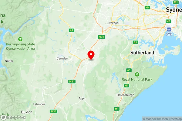
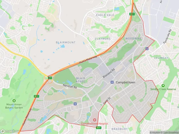
Campbelltown Woodbine Suburbs & Region, Campbelltown Woodbine Map & Postcodes
Campbelltown Woodbine Suburbs & Region, Campbelltown Woodbine Map & Postcodes in Campbelltown Woodbine, Wollondilly, Sydney Outer South West, NSW, AU
Campbelltown Woodbine Region
Region Name
Campbelltown Woodbine (NSW, AU)Campbelltown Woodbine Area
13.75 square kilometers (13.75 ㎢)Campbelltown Woodbine Introduction
Campbelltown Woodbine is a suburb located in the Macarthur region of Sydney, in the state of New South Wales, Australia. It is situated 35 kilometers south-west of the Sydney central business district and is part of the City of Campbelltown. The suburb is named after the Woodbine railway station, which was located on the Main Southern line. Campbelltown Woodbine is a primarily residential area with a mix of single-family homes, duplexes, and apartments. The suburb has a large population of families and young professionals, and it is known for its well-maintained parks, recreational facilities, and shopping centers. The area also has a number of schools, including primary and secondary schools, as well as a university campus. Campbelltown Woodbine is located in the Macarthur region, which is one of the fastest-growing regions in Australia. The region is home to a number of major companies and industries, including Toyota, Boeing, and Airbus. It is also a major transportation hub, with the Sydney Airport located just a few kilometers away. The suburb is well-connected to other parts of Sydney, with the M5 motorway and the South West Rail Line providing easy access to the city center. It is also a short drive to the beautiful Blue Mountains and the Southern Highlands. In conclusion, Campbelltown Woodbine is a vibrant and growing suburb located in the Macarthur region ofAustralia State
City or Big Region
Greater Capital City
Greater Sydney (1GSYD)District or Regional Area
Suburb Name
Campbelltown Woodbine Region Map

Campbelltown Woodbine Suburbs
Campbelltown Woodbine full address
Campbelltown Woodbine, Wollondilly, Sydney Outer South West, New South Wales, NSW, Australia, SaCode: 123021437Country
Campbelltown Woodbine, Wollondilly, Sydney Outer South West, New South Wales, NSW, Australia, SaCode: 123021437
Campbelltown Woodbine Suburbs & Region, Campbelltown Woodbine Map & Postcodes has 0 areas or regions above, and there are 0 Campbelltown Woodbine suburbs below. The sa2code for the Campbelltown Woodbine region is 123021437. Its latitude and longitude coordinates are -34.0612,150.826. Campbelltown Woodbine area belongs to Australia's greater capital city Greater Sydney.
