Razorback Area, Razorback Postcode(2571) & Map in Razorback, Sydney - Outer South West, NSW
Razorback Area, Razorback Postcode(2571) & Map in Razorback, Sydney - Outer South West, NSW, AU, Postcode: 2571
Razorback, Douglas Park - Appin, Wollondilly, Sydney - Outer South West, New South Wales, Australia, 2571
Razorback Postcode
Area Name
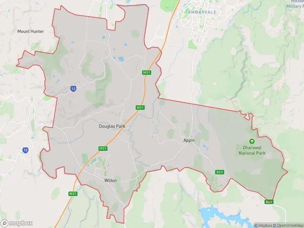
RazorbackRazorback Suburb Area Map (Polygon)

Razorback Introduction
Razorback is a suburb located in the City of Campbelltown of New South Wales, Australia. It is named after the razorback mountain that is located nearby. Razorback is a peaceful and family-friendly suburb with a variety of housing options, including single-family homes, duplexes, and apartments. It is well-connected to other parts of Sydney, with easy access to the M4 motorway and public transportation. The suburb has a number of parks and recreational facilities, including a cricket club, a golf course, and a swimming pool.State Name
City or Big Region
District or Regional Area
Suburb Name
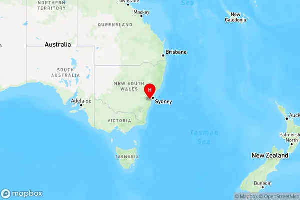
Razorback Region Map

Country
Main Region in AU
R1Coordinates
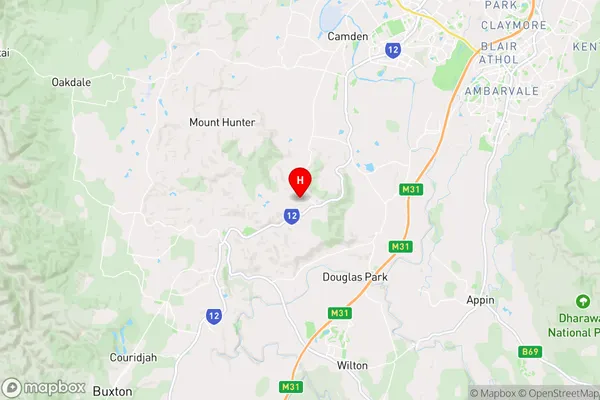
-34.1462868,150.6633499 (latitude/longitude)Razorback Area Map (Street)

Longitude
150.622493Latitude
-34.16715Razorback Elevation
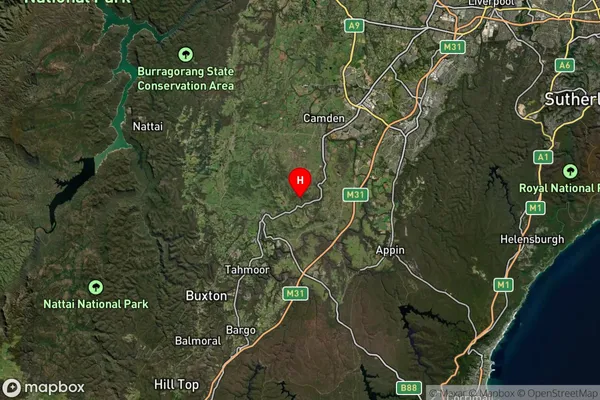
about 233.19 meters height above sea level (Altitude)Razorback Suburb Map (Satellite)

Distances
The distance from Razorback, Sydney - Outer South West, NSW to AU Greater Capital CitiesSA1 Code 2011
12303144602SA1 Code 2016
12303144602SA2 Code
123031446SA3 Code
12303SA4 Code
123RA 2011
2RA 2016
2MMM 2015
2MMM 2019
2Charge Zone
N1LGA Region
WollondillyLGA Code
18400Electorate
Hume