Douglas Park Appin Suburbs & Region, Douglas Park Appin Map & Postcodes
Douglas Park Appin Suburbs & Region, Douglas Park Appin Map & Postcodes in Douglas Park Appin, Wollondilly, Sydney Outer South West, NSW, AU
Douglas Park Appin Region
Region Name
Douglas Park Appin (NSW, AU)Douglas Park Appin Area
289.95 square kilometers (289.95 ㎢)Postal Codes
2560, 2568, 2569, and 2571 (In total, there are 4 postcodes in Douglas Park Appin.)Douglas Park Appin Introduction
Douglas Park Appin is a suburb in the southern suburbs of Sydney, in the state of New South Wales, Australia. It is located 26 kilometers south-west of the Sydney central business district and is part of the Georges River Council. The suburb is named after the Scottish settler and politician Sir Douglas MacArthur. Douglas Park Appin is a primarily residential area with a mix of single-family homes, duplexes, and apartments. The suburb has a small commercial area with a supermarket, a pharmacy, and a few small shops. The area is well-connected to public transport with several bus routes and a train station located within walking distance. The suburb is surrounded by natural beauty with the Georges River and its tributaries providing a scenic backdrop. There are several parks and recreational facilities in the area, including Douglas Park, Appin Park, and Appin Oval. The suburb is also home to the Appin Agricultural Showground, which hosts the annual Appin Agricultural Show. Douglas Park Appin has a diverse population with a mix of different ethnic backgrounds and cultures. The suburb has a low crime rate and is considered a safe and friendly community.Australia State
City or Big Region
Greater Capital City
Greater Sydney (1GSYD)District or Regional Area
Suburb Name
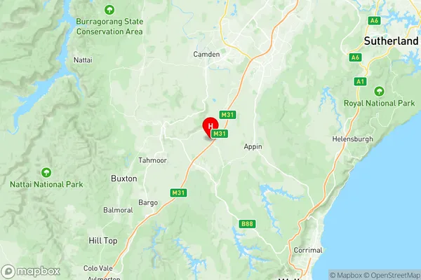
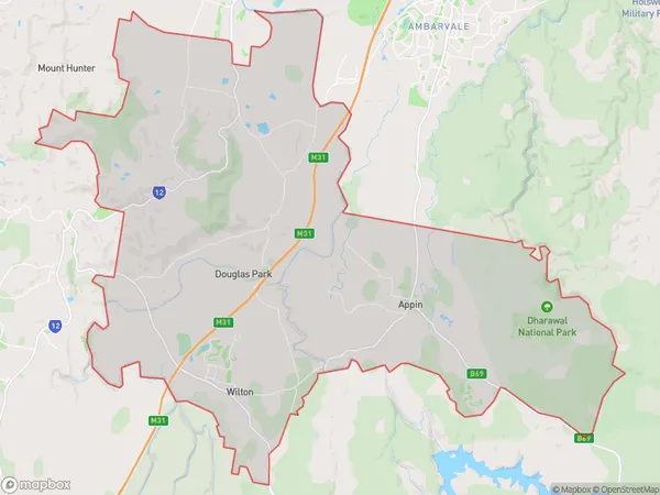
Douglas Park Appin Region Map

Douglas Park Appin Postcodes / Zip Codes
Douglas Park Appin Suburbs
Douglas Park Appin full address
Douglas Park Appin, Wollondilly, Sydney Outer South West, New South Wales, NSW, Australia, SaCode: 123031446Country
Douglas Park Appin, Wollondilly, Sydney Outer South West, New South Wales, NSW, Australia, SaCode: 123031446
Douglas Park Appin Suburbs & Region, Douglas Park Appin Map & Postcodes has 0 areas or regions above, and there are 6 Douglas Park Appin suburbs below. The sa2code for the Douglas Park Appin region is 123031446. Its latitude and longitude coordinates are -34.1925,150.704. Douglas Park Appin area belongs to Australia's greater capital city Greater Sydney.
Douglas Park Appin Suburbs & Localities
1. Appin
2. Menangle
3. Wilton
4. Douglas Park
5. Maldon
6. Razorback
