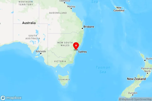
Leumeah Area, Leumeah Postcode(2560) & Map in Leumeah, Sydney - Outer South West, NSW
Leumeah Area, Leumeah Postcode(2560) & Map in Leumeah, Sydney - Outer South West, NSW, AU, Postcode: 2560
Leumeah, Leumeah - Minto Heights, Campbelltown (NSW), Sydney - Outer South West, New South Wales, Australia, 2560
Leumeah Postcode
Area Name
LeumeahLeumeah Suburb Area Map (Polygon)

Leumeah Introduction
Leumeah is a suburb in the southern suburbs of Sydney, in the state of New South Wales, Australia. It is located 26 kilometers south-west of the Sydney central business district and is part of the Macarthur region. Leumeah is named after the Leumeah railway station, which was opened on 1 October 1889. The suburb has a population of around 5,000 people and is home to a number of parks and recreational facilities, including Leumeah Reserve and Leumeah Golf Club.State Name
City or Big Region
District or Regional Area
Suburb Name
Leumeah Region Map

Country
Main Region in AU
R1Coordinates
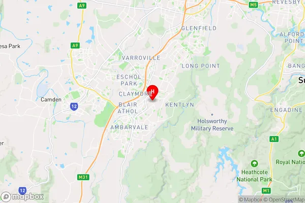
-34.05546,150.83328 (latitude/longitude)Leumeah Area Map (Street)

Longitude
150.768408Latitude
-34.194216Leumeah Elevation
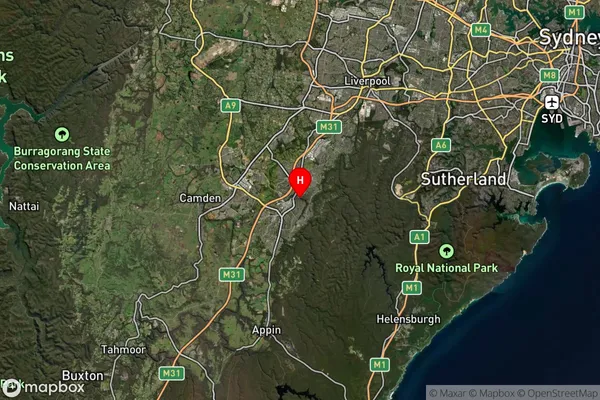
about 182.79 meters height above sea level (Altitude)Leumeah Suburb Map (Satellite)

Distances
The distance from Leumeah, Sydney - Outer South West, NSW to AU Greater Capital CitiesSA1 Code 2011
12302144122SA1 Code 2016
12302144122SA2 Code
123021441SA3 Code
12302SA4 Code
123RA 2011
1RA 2016
1MMM 2015
1MMM 2019
1Charge Zone
N1LGA Region
CampbelltownLGA Code
11500Electorate
Macarthur