Balmoral Area, Balmoral Postcode(2571) & Map in Balmoral, Southern Highlands and Shoalhaven, NSW
Balmoral Area, Balmoral Postcode(2571) & Map in Balmoral, Southern Highlands and Shoalhaven, NSW, AU, Postcode: 2571
Balmoral, Hill Top - Colo Vale, Southern Highlands, Southern Highlands and Shoalhaven, New South Wales, Australia, 2571
Balmoral Postcode
Area Name
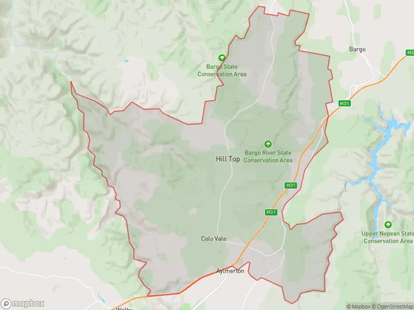
BalmoralBalmoral Suburb Area Map (Polygon)
Balmoral Introduction
Balmoral, Southern Highlands, and Shoalhaven are picturesque regions in New South Wales, Australia, known for their natural beauty, including the Blue Mountains, the Southern Highlands, and the Shoalhaven River.State Name
City or Big Region
District or Regional Area
Suburb Name
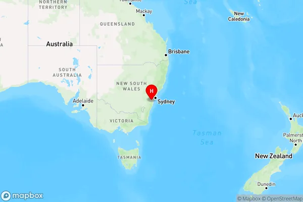
Balmoral Region Map
Country
Main Region in AU
R1Coordinates
-34.315278,150.517778 (latitude/longitude)Balmoral Area Map (Street)

Longitude
150.5152938Latitude
-34.30254366Balmoral Elevation
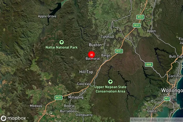
about 411.40 meters height above sea level (Altitude)Balmoral Suburb Map (Satellite)
Distances
The distance from Balmoral, Southern Highlands and Shoalhaven, NSW to AU Greater Capital CitiesSA1 Code 2011
11402128501SA1 Code 2016
11402128501SA2 Code
114021285SA3 Code
11402SA4 Code
114RA 2011
2RA 2016
2MMM 2015
5MMM 2019
5Charge Zone
N1LGA Region
WollondillyLGA Code
18400Electorate
Hume