Griffith Murrumbidgee (West) Suburbs & Region, Griffith Murrumbidgee (West) Map & Postcodes
Griffith Murrumbidgee (West) Suburbs & Region, Griffith Murrumbidgee (West) Map & Postcodes in Griffith Murrumbidgee (West), Riverina, NSW, AU
Griffith Murrumbidgee (West) Region
Region Name
Griffith Murrumbidgee (West) (NSW, AU)Griffith Murrumbidgee (West) Area
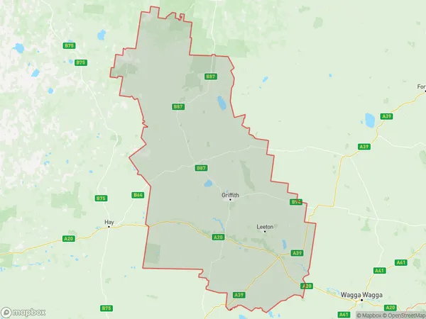
28860 square kilometers (28,860 ㎢)Postal Codes
2669, 2675, 2680, 2681, 2700, 2703, from 2705 to 2707, 2710, 2711, and 2716 (In total, there are 12 postcodes in Griffith Murrumbidgee (West).)Griffith Murrumbidgee (West) Introduction
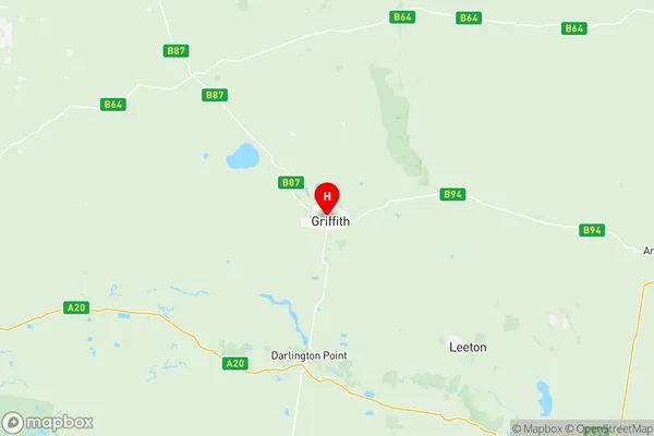
Griffith Murrumbidgee (West) is a locality in the Riverina region of New South Wales, Australia. It is located on the Murrumbidgee River and is situated approximately 350 kilometers west of the state capital, Sydney. The town is a major agricultural center, with a large number of farms producing cotton, wheat, and other crops. It is also home to a number of wineries and a cheese factory. The town has a population of around 10,000 people and is served by a railway station and a local airport. The surrounding area is known for its scenic beauty, with the Murrumbidgee River flowing through the town and the surrounding countryside. The town also has a number of historic buildings, including the Griffith Courthouse and the Old Government House.Australia State
City or Big Region
District or Regional Area
Griffith Murrumbidgee (West) Region Map

Griffith Murrumbidgee (West) Postcodes / Zip Codes
Griffith Murrumbidgee (West) Suburbs
Griffith Murrumbidgee (West) full address
Griffith Murrumbidgee (West), Riverina, New South Wales, NSW, Australia, SaCode: 11301Country
Griffith Murrumbidgee (West), Riverina, New South Wales, NSW, Australia, SaCode: 11301
Griffith Murrumbidgee (West) Suburbs & Region, Griffith Murrumbidgee (West) Map & Postcodes has 6 areas or regions above, and there are 120 Griffith Murrumbidgee (West) suburbs below. The sa3code for the Griffith Murrumbidgee (West) region is 11301. Its latitude and longitude coordinates are -34.2801,146.046.
Griffith Murrumbidgee (West) Suburbs & Localities
1. Bygalorie
2. Gubbata
3. Kikoira
4. Weethalle
5. Hillston
6. Monia Gap
7. Bilbul
8. Griffith
9. Hanwood
10. Warrawidgee
11. Euroley
12. Faithfull
13. Sandigo
14. Girral
15. Weja
16. Yaddra
17. Wallanthery
18. White Top
19. Beelbangera
20. Griffith Dc
21. Kooba
22. Nericon
23. Tharbogang
24. Widgelli
25. Bundure
26. Colinroobie
27. Corobimilla
28. Paynters Siding
29. Widgiewa
30. Gogeldrie
31. Stanbridge
32. Darlington Point
33. Erigolia
34. Tallimba
35. Ungarie
36. Lake Brewster
37. Roto
38. Griffith East
39. Lake Wyangan
40. Warburn
41. Willbriggie
42. Cudgel
43. Narrandera
44. Uroly
45. Yanco
46. Brobenah
47. Calorafield
48. Corbie Hill
49. Leeton
50. Whitton
51. Argoon
52. Melbergen
53. Naradhan
54. North Yalgogrin
55. Rankins Springs
56. Tullibigeal
57. Benerembah
58. Yoogali
59. Myall Park
60. Yenda
61. Birrego
62. Gillenbah
63. Kywong
64. Morundah
65. Merungle Hill
66. Murrami
67. Wamoon
68. Coleambally
69. Benarca
70. Barratta
71. Birganbigil
72. Booroorban
73. Calimo
74. Conargo
75. Cornalla
76. Mathoura
77. Mayrung
78. Moonahcullah
79. Morago
80. Pretty Pine
81. Yallakool
82. Corrong
83. Gunbar
84. Maude
85. Waugorah
86. Moonbria
87. Steam Plains
88. Stud Park
89. Wakool
90. Carrathool
91. Keri Keri
92. Yanga
93. Gala Vale
94. Mairjimmy
95. Caldwell
96. Coree
97. Hartwood
98. Hill Plain
99. Lindifferon
100. Wandook
101. Wanganella
102. Warragoon
103. One Tree
104. Oxley
105. Four Corners
106. Jerilderie
107. Brassi
108. Bullatale
109. Deniliquin
110. Deniliquin North
111. Gulpa
112. Jimaringle
113. Moira
114. Willurah
115. Booligal
116. Clare
117. Hay
118. Hay South
119. Coree South
120. Mabins Well
