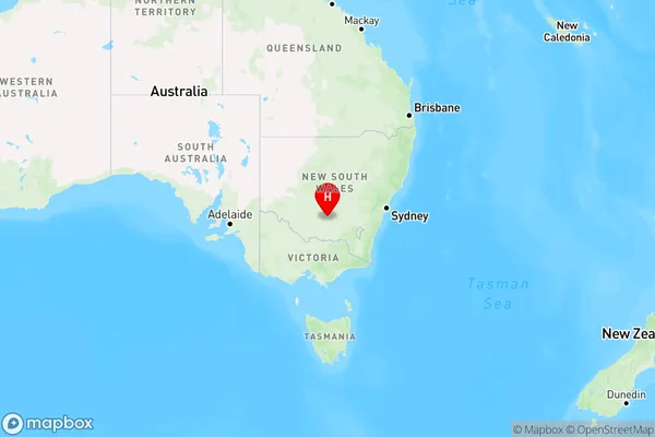
Corbie Hill Area, Corbie Hill Postcode(2705) & Map in Corbie Hill, Riverina, NSW
Corbie Hill Area, Corbie Hill Postcode(2705) & Map in Corbie Hill, Riverina, NSW, AU, Postcode: 2705
Corbie Hill, Leeton, Griffith - Murrumbidgee (West), Riverina, New South Wales, Australia, 2705
Corbie Hill Postcode
Area Name
Corbie HillCorbie Hill Suburb Area Map (Polygon)

Corbie Hill Introduction
Corbie Hill is a historic site located in the Riverina region of NSW, Australia. It is a significant Aboriginal archaeological site with evidence of continuous habitation from around 3000 BC to 1800 AD. The hill features stone tools, rock shelters, and burial sites, and it is considered a sacred place by the local Aboriginal community. Corbie Hill is also home to a range of flora and fauna, including kangaroos, wallabies, and emus.State Name
City or Big Region
District or Regional Area
Suburb Name
Corbie Hill Region Map

Country
Main Region in AU
R3Coordinates
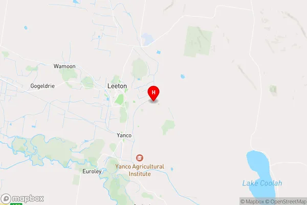
-34.566667,146.45 (latitude/longitude)Corbie Hill Area Map (Street)

Longitude
146.373471Latitude
-34.489867Corbie Hill Elevation
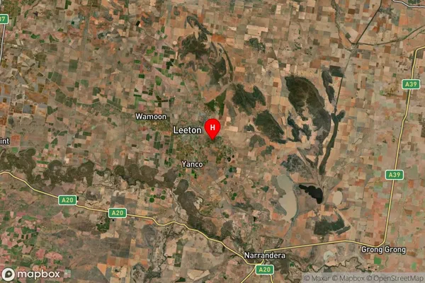
about 134.00 meters height above sea level (Altitude)Corbie Hill Suburb Map (Satellite)

Distances
The distance from Corbie Hill, Riverina, NSW to AU Greater Capital CitiesSA1 Code 2011
11301125822SA1 Code 2016
11301125822SA2 Code
113011258SA3 Code
11301SA4 Code
113RA 2011
3RA 2016
3MMM 2015
4MMM 2019
4Charge Zone
N2LGA Region
LeetonLGA Code
14750Electorate
Farrer