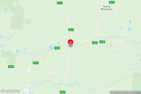
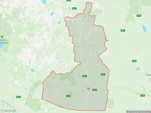
Hay Suburbs & Region, Hay Map & Postcodes
Hay Suburbs & Region, Hay Map & Postcodes in Hay, Griffith Murrumbidgee (West), Riverina, NSW, AU
Hay Region
Region Name
Hay (NSW, AU)Hay Area
13923 square kilometers (13,923 ㎢)Postal Codes
2711 (In total, there are 1 postcodes in Hay.)Hay Introduction
Hay is a town in the Riverina region of New South Wales, Australia. It is located on the banks of the Murrumbidgee River and is approximately 350 kilometers southwest of Sydney. Hay is known for its agriculture, with wheat, cotton, and sheep being the main crops grown in the area. The town has a population of around 4,000 people and is home to a number of historic buildings, including the Hay Courthouse and the Hay Public Library. The town also has a number of recreational facilities, including a golf course, a swimming pool, and a cricket club.Australia State
City or Big Region
Greater Capital City
Rest of NSW (1RNSW)District or Regional Area
Suburb Name
Hay Region Map

Hay Postcodes / Zip Codes
Hay Suburbs
Hay full address
Hay, Griffith Murrumbidgee (West), Riverina, New South Wales, NSW, Australia, SaCode: 109021177Country
Hay, Griffith Murrumbidgee (West), Riverina, New South Wales, NSW, Australia, SaCode: 109021177
Hay Suburbs & Region, Hay Map & Postcodes has 0 areas or regions above, and there are 5 Hay suburbs below. The sa2code for the Hay region is 109021177. Its latitude and longitude coordinates are -34.5206,144.841. Hay area belongs to Australia's greater capital city Rest of NSW.
Hay Suburbs & Localities
1. Maude
2. One Tree
3. Booligal
4. Hay
5. Hay South
