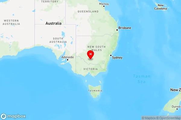
Steam Plains Area, Steam Plains Postcode(2710) & Map in Steam Plains, Murray, NSW
Steam Plains Area, Steam Plains Postcode(2710) & Map in Steam Plains, Murray, NSW, AU, Postcode: 2710
Steam Plains, Deniliquin Region, Upper Murray exc. Albury, Murray, New South Wales, Australia, 2710
Steam Plains Postcode
Area Name
Steam PlainsSteam Plains Suburb Area Map (Polygon)

Steam Plains Introduction
Steam Plains, located in the Murray River region of New South Wales, Australia, is a significant agricultural area known for its production of wheat, cotton, and other crops. The region is characterized by its flat, fertile soils and reliable irrigation system, which supports a diverse range of agricultural activities. Steam Plains has a rich history of agriculture and was once home to a number of pioneering families who settled in the area during the late 19th century. Today, the region is home to a number of agricultural businesses and communities, and is a popular tourist destination for its historic buildings and scenic landscapes.State Name
City or Big Region
District or Regional Area
Suburb Name
Steam Plains Region Map

Country
Main Region in AU
R3Coordinates
-34.9831556,145.2816833 (latitude/longitude)Steam Plains Area Map (Street)

Longitude
144.984378Latitude
-35.357619Steam Plains Elevation
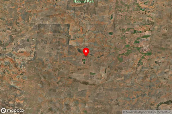
about -3492.00 meters height above sea level (Altitude)Steam Plains Suburb Map (Satellite)

Distances
The distance from Steam Plains, Murray, NSW to AU Greater Capital CitiesSA1 Code 2011
10903118311SA1 Code 2016
10903118311SA2 Code
109031183SA3 Code
10903SA4 Code
109RA 2011
3RA 2016
3MMM 2015
5MMM 2019
5Charge Zone
N2LGA Region
Edward RiverLGA Code
12730Electorate
Farrer