Lake Wyangan Area, Lake Wyangan Postcode(2680) & Map in Lake Wyangan, Riverina, NSW
Lake Wyangan Area, Lake Wyangan Postcode(2680) & Map in Lake Wyangan, Riverina, NSW, AU, Postcode: 2680
Lake Wyangan, Griffith Region, Griffith - Murrumbidgee (West), Riverina, New South Wales, Australia, 2680
Lake Wyangan Postcode
Area Name
Lake WyanganLake Wyangan Suburb Area Map (Polygon)

Lake Wyangan Introduction
Lake Wyangan is a rural locality in the Riverina region of New South Wales, Australia. It is situated on the Cobb Highway, approximately 35 kilometers south of Wagga Wagga and 225 kilometers north of Sydney. The lake was created by the Wyangan Dam, which was built in 1913 to provide water for irrigation and domestic use. The lake is a popular recreational spot for fishing, boating, and swimming, and it is home to a variety of wildlife, including waterbirds, reptiles, and mammals.State Name
City or Big Region
District or Regional Area
Suburb Name
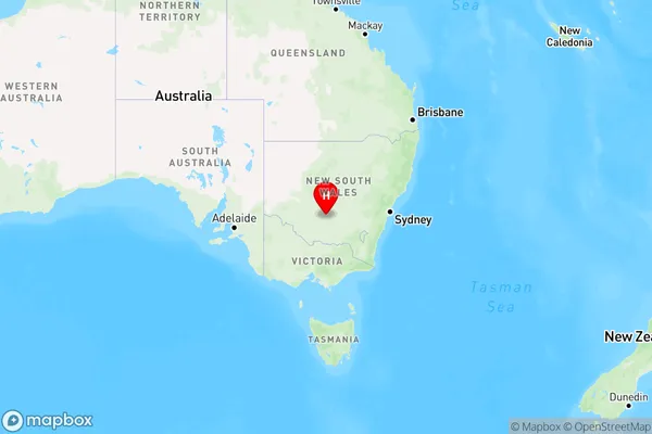
Lake Wyangan Region Map

Country
Main Region in AU
R3Coordinates
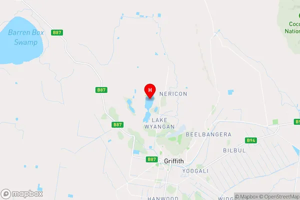
-34.2177071,146.0222113 (latitude/longitude)Lake Wyangan Area Map (Street)

Longitude
145.914625Latitude
-34.321422Lake Wyangan Elevation
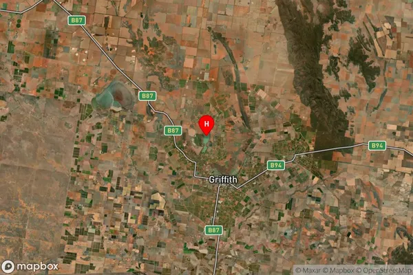
about 115.54 meters height above sea level (Altitude)Lake Wyangan Suburb Map (Satellite)

Distances
The distance from Lake Wyangan, Riverina, NSW to AU Greater Capital CitiesSA1 Code 2011
11301125723SA1 Code 2016
11301125723SA2 Code
113011257SA3 Code
11301SA4 Code
113RA 2011
3RA 2016
3MMM 2015
3MMM 2019
3Charge Zone
N2LGA Region
GriffithLGA Code
13450Electorate
Farrer