Gubbata Area, Gubbata Postcode(2669) & Map in Gubbata, Central West, NSW
Gubbata Area, Gubbata Postcode(2669) & Map in Gubbata, Central West, NSW, AU, Postcode: 2669
Gubbata, West Wyalong, Lachlan Valley, Central West, New South Wales, Australia, 2669
Gubbata Postcode
Area Name
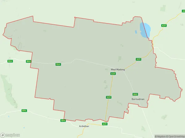
GubbataGubbata Suburb Area Map (Polygon)

Gubbata Introduction
Gubbata is a small Aboriginal community located in the Central West region of New South Wales, Australia. It is situated on the Cobb Highway, approximately 350 kilometers west of Sydney and 12 kilometers north of the town of Mudgee. The community is home to the Gubbata people, who are members of the Gamilaraay language group. Gubbata has a post office, a general store, a community hall, and a primary school. The surrounding area is known for its agricultural productivity, with crops such as cotton, wheat, and sheep being grown. The community also has a rich cultural heritage, with traditional art and music being practiced and celebrated.State Name
City or Big Region
District or Regional Area
Suburb Name
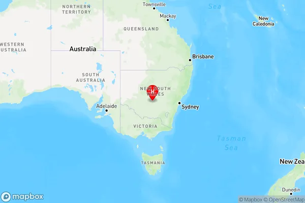
Gubbata Region Map

Country
Main Region in AU
R3Coordinates
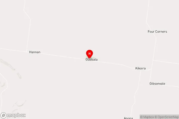
-33.6354,146.545 (latitude/longitude)Gubbata Area Map (Street)

Longitude
146.667476Latitude
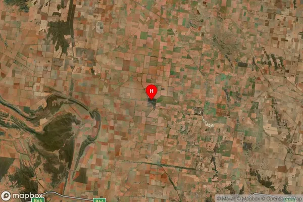
-33.814887Gubbata Suburb Map (Satellite)

Distances
The distance from Gubbata, Central West, NSW to AU Greater Capital CitiesSA1 Code 2011
10302106905SA1 Code 2016
10302106905SA2 Code
103021069SA3 Code
10302SA4 Code
103RA 2011
4RA 2016
4MMM 2015
6MMM 2019
6Charge Zone
N2LGA Region
BlandLGA Code
10800Electorate
Riverina