Inverell Region East Suburbs & Region, Inverell Region East Map & Postcodes
Inverell Region East Suburbs & Region, Inverell Region East Map & Postcodes in Inverell Region East, Darling Downs (West) Maranoa, Darling Downs Maranoa, NSW, AU
Inverell Region East Region
Region Name
Inverell Region East (NSW, AU)Inverell Region East Area
9271 square kilometers (9,271 ㎢)Postal Codes
2360, 2361, 2365, from 2369 to 2371, 2410, and 4385 (In total, there are 8 postcodes in Inverell Region East.)Inverell Region East Suburb Area Map (Polygon)

Inverell Region East Introduction
Inverell Region East, Darling Downs Maranoa, New South Wales, AU, is a locality in the Inverell Shire of New South Wales, Australia. It is located in the Darling Downs district and is situated approximately 165 kilometers west of the state capital, Brisbane. The town of Inverell is the administrative center of the region and is home to a population of around 10,000 people. The region is known for its agriculture, particularly cotton and wheat farming, and for its rich history and heritage. The area has several historic sites, including the Inverell Pioneer Cottage Museum and the Inverell Showground. The region is also home to several national parks, including the Girraween National Park and the Mount Superbus National Park.Australia State
City or Big Region
Greater Capital City
Rest of NSW (1RNSW)District or Regional Area
Suburb Name
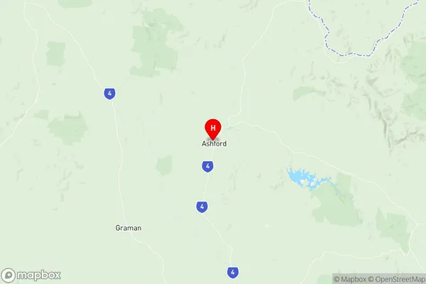
Inverell Region East Region Map
Inverell Region East Postcodes / Zip Codes
Inverell Region East Suburbs
Inverell Region East full address
Inverell Region East, Darling Downs (West) Maranoa, Darling Downs Maranoa, New South Wales, NSW, Australia, SaCode: 110021192Country
Inverell Region East, Darling Downs (West) Maranoa, Darling Downs Maranoa, New South Wales, NSW, Australia, SaCode: 110021192
Inverell Region East Suburbs & Region, Inverell Region East Map & Postcodes has 0 areas or regions above, and there are 47 Inverell Region East suburbs below. The sa2code for the Inverell Region East region is 110021192. Its latitude and longitude coordinates are -29.3231,151.092. Inverell Region East area belongs to Australia's greater capital city Rest of NSW.
Inverell Region East Suburbs & Localities
1. Gilgai
2. Paradise
3. Swanbrook
4. Woodstock
5. Bassendean
6. Georges Creek
7. New Valley
8. The Basin
9. Yellow Dam
10. Bukkulla
11. Graman
12. Newstead
13. Oakwood
14. Wandera
15. Ashford
16. Maybole
17. Wandsworth
18. Brodies Plains
19. Cherry Tree Hill
20. Kings Plains
21. Sapphire
22. Tingha
23. Twin Rivers
24. Spring Mountain
25. Stanborough
26. Atholwood
27. Limestone
28. Pindaroi
29. Briarbrook
30. Stannifer
31. Kingsland
32. Wellingrove
33. Elsmore
34. Howell
35. Long Plain
36. Nullamanna
37. Wallangra
38. Bonshaw
39. Tenterden
40. Old Mill
41. Swan Vale
42. Rocky Creek
43. Yetman
44. Glenarbon
45. Texas
46. Smithlea
47. Camp Creek