Smithlea Area, Smithlea Postcode(4385) & Map in Smithlea, New England and North West, QLD
Smithlea Area, Smithlea Postcode(4385) & Map in Smithlea, New England and North West, QLD, AU, Postcode: 4385
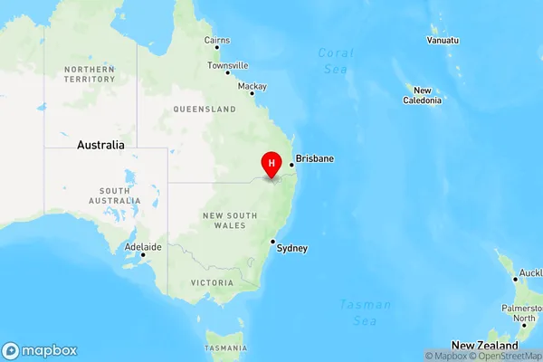
Smithlea, Inverell Region - East, Inverell - Tenterfield, New England and North West, Queensland, Australia, 4385
Smithlea Postcode
Area Name
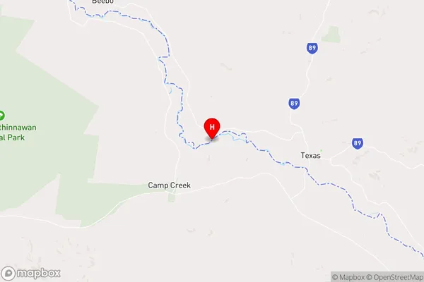
SmithleaSmithlea Suburb Area Map (Polygon)

Smithlea Introduction
Smithlea is a locality in the New England and North West region of Queensland, Australia. It is located 1,100 km northwest of Brisbane and 120 km west of Warwick. The town is known for its agricultural industry, particularly cotton and wheat farming.State Name
City or Big Region
District or Regional Area
Suburb Name
Smithlea Region Map
Country
Main Region in AU
R3Coordinates
-28.8427232,151.0707902 (latitude/longitude)Smithlea Area Map (Street)
Longitude
151.24801Latitude
-28.777563Smithlea Elevation
about 272.65 meters height above sea level (Altitude)Smithlea Suburb Map (Satellite)

Distances
The distance from Smithlea, New England and North West, QLD to AU Greater Capital CitiesSA1 Code 2011
11002119205SA1 Code 2016
11002119205SA2 Code
110021192SA3 Code
11002SA4 Code
110RA 2011
3RA 2016
3MMM 2015
5MMM 2019
5Charge Zone
Q2LGA Region
Southern DownsLGA Code
36660Electorate
Maranoa