Swanbrook Area, Swanbrook Postcode(2360) & Map in Swanbrook, New England and North West, NSW
Swanbrook Area, Swanbrook Postcode(2360) & Map in Swanbrook, New England and North West, NSW, AU, Postcode: 2360
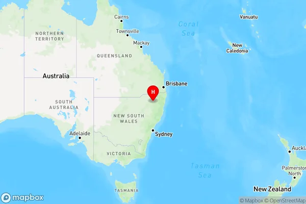
Swanbrook, Inverell Region - East, Inverell - Tenterfield, New England and North West, New South Wales, Australia, 2360
Swanbrook Postcode
Area Name
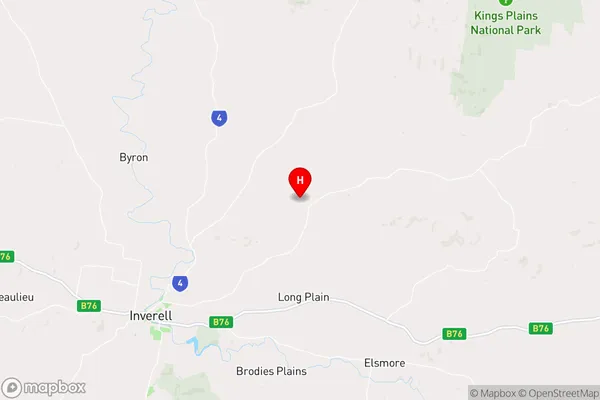
SwanbrookSwanbrook Suburb Area Map (Polygon)

Swanbrook Introduction
Swanbrook is a rural locality in the Macarthur region of South West Sydney, New South Wales, Australia. It is located 65 kilometres south-west of Sydney's central business district and is part of the Macarthur Shire. The post office opened as 'Swanbrook' on 1 October 1882 and was closed on 1 March 1974.State Name
City or Big Region
District or Regional Area
Suburb Name
Swanbrook Region Map
Country
Main Region in AU
R3Coordinates
-29.7071143,151.2153687 (latitude/longitude)Swanbrook Area Map (Street)
Longitude
151.162025Latitude
-29.630052Swanbrook Elevation
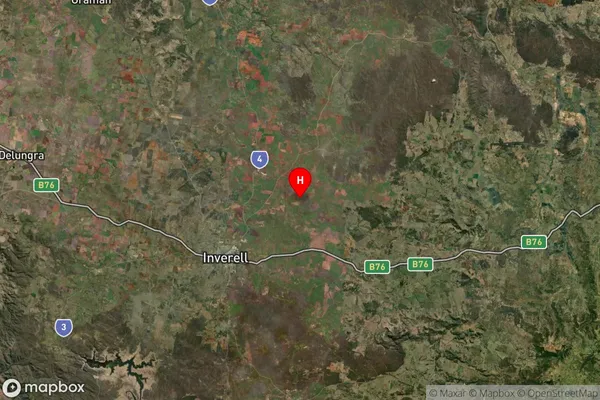
about 661.65 meters height above sea level (Altitude)Swanbrook Suburb Map (Satellite)
Distances
The distance from Swanbrook, New England and North West, NSW to AU Greater Capital CitiesSA1 Code 2011
11002119211SA1 Code 2016
11002119211SA2 Code
110021192SA3 Code
11002SA4 Code
110RA 2011
3RA 2016
3MMM 2015
5MMM 2019
5Charge Zone
N2LGA Region
InverellLGA Code
14220Electorate
Parkes