Swan Vale Area, Swan Vale Postcode(2370) & Map in Swan Vale, New England and North West, NSW
Swan Vale Area, Swan Vale Postcode(2370) & Map in Swan Vale, New England and North West, NSW, AU, Postcode: 2370
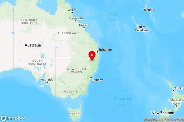
Swan Vale, Inverell Region - East, Inverell - Tenterfield, New England and North West, New South Wales, Australia, 2370
Swan Vale Postcode
Area Name
Swan ValeSwan Vale Suburb Area Map (Polygon)

Swan Vale Introduction
Swan Vale is a suburb of the City of Shoalhaven in New South Wales, Australia. It is located on the banks of the Swan River and is approximately 26 kilometers south of Nowra. The suburb has a population of around 10,000 people and is known for its historic buildings and picturesque gardens. It is also home to a number of industries, including manufacturing and agriculture.State Name
City or Big Region
District or Regional Area
Suburb Name
Swan Vale Region Map
Country
Main Region in AU
R3Coordinates
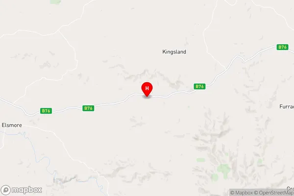
-29.7712478,151.4628828 (latitude/longitude)Swan Vale Area Map (Street)
Longitude
151.869397Latitude
-29.736171Swan Vale Elevation
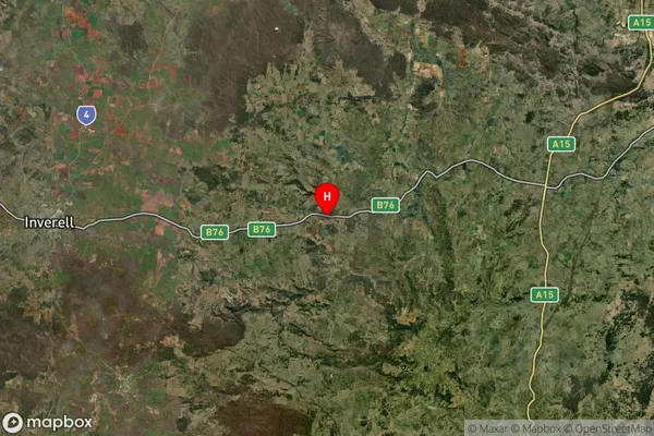
about 1068.67 meters height above sea level (Altitude)Swan Vale Suburb Map (Satellite)
Distances
The distance from Swan Vale, New England and North West, NSW to AU Greater Capital CitiesSA1 Code 2011
11002119211SA1 Code 2016
11002119211SA2 Code
110021192SA3 Code
11002SA4 Code
110RA 2011
3RA 2016
3MMM 2015
5MMM 2019
5Charge Zone
N2LGA Region
Glen Innes SevernLGA Code
13010Electorate
Page