Camp Creek Area, Camp Creek Postcode(4385) & Map in Camp Creek, New England and North West, NSW
Camp Creek Area, Camp Creek Postcode(4385) & Map in Camp Creek, New England and North West, NSW, AU, Postcode: 4385
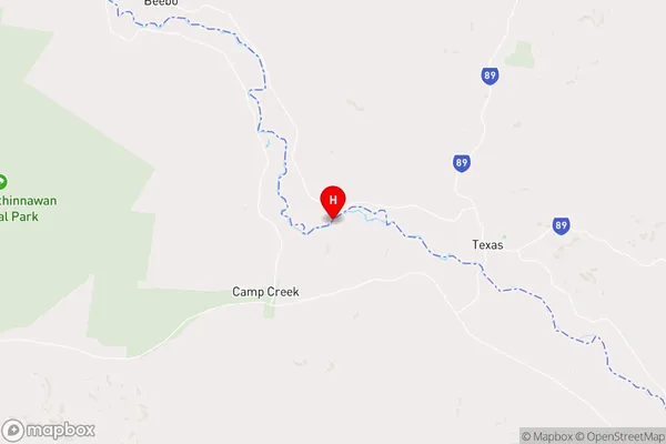
Camp Creek, Inverell Region - East, Inverell - Tenterfield, New England and North West, New South Wales, Australia, 4385
Camp Creek Postcode
Area Name
Camp CreekCamp Creek Suburb Area Map (Polygon)

Camp Creek Introduction
Camp Creek is a locality in New England and North West, NSW, Australia. It is located on the Gwydir Highway and is known for its agricultural industry, including wheat, cotton, and cattle. The town has a population of around 1,000 people and is home to a number of businesses and amenities, including a school, a hospital, and a supermarket.State Name
City or Big Region
District or Regional Area
Suburb Name
Camp Creek Region Map

Country
Main Region in AU
R3Coordinates
-28.8427,151.071 (latitude/longitude)Camp Creek Area Map (Street)
Longitude
150.8803595Latitude
-28.75511649Camp Creek Elevation
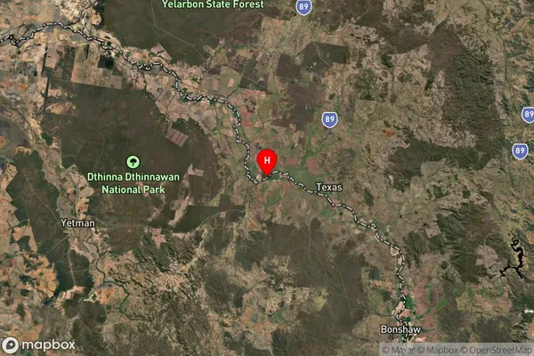
about 272.65 meters height above sea level (Altitude)Camp Creek Suburb Map (Satellite)
Distances
The distance from Camp Creek, New England and North West, NSW to AU Greater Capital CitiesSA1 Code 2011
11002119205SA1 Code 2016
11002119205SA2 Code
110021192SA3 Code
11002SA4 Code
110RA 2011
3RA 2016
3MMM 2015
5MMM 2019
5Charge Zone
Q2LGA Region
InverellLGA Code
14220Electorate
Maranoa