Pindaroi Area, Pindaroi Postcode(2361) & Map in Pindaroi, New England and North West, NSW
Pindaroi Area, Pindaroi Postcode(2361) & Map in Pindaroi, New England and North West, NSW, AU, Postcode: 2361
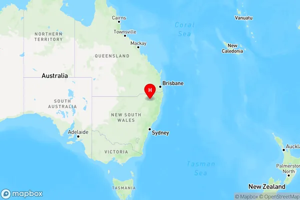
Pindaroi, Inverell Region - East, Inverell - Tenterfield, New England and North West, New South Wales, Australia, 2361
Pindaroi Postcode
Area Name
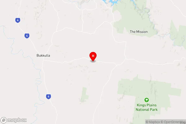
PindaroiPindaroi Suburb Area Map (Polygon)

Pindaroi Introduction
Pindaroi is a small town in the New England and North West regions of New South Wales, Australia. It is located on the banks of the Macleay River and is surrounded by beautiful countryside. The town has a population of around 1,000 people and is known for its historic buildings and scenic surroundings. Pindaroi is a popular tourist destination and is home to several wineries and cafes.State Name
City or Big Region
District or Regional Area
Suburb Name
Pindaroi Region Map
Country
Main Region in AU
R3Coordinates
-29.5140611,151.2379085 (latitude/longitude)Pindaroi Area Map (Street)
Longitude
151.141751Latitude
-29.198493Pindaroi Elevation
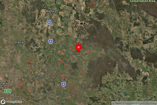
about 407.79 meters height above sea level (Altitude)Pindaroi Suburb Map (Satellite)
Distances
The distance from Pindaroi, New England and North West, NSW to AU Greater Capital CitiesSA1 Code 2011
11002119208SA1 Code 2016
11002119208SA2 Code
110021192SA3 Code
11002SA4 Code
110RA 2011
3RA 2016
3MMM 2015
5MMM 2019
5Charge Zone
N2LGA Region
InverellLGA Code
14220Electorate
Maranoa