Ruapehu Suburbs & Region, Ruapehu Map & Postcodes in Ruapehu, Central North Island
Ruapehu Postcodes, Ruapehu ZipCodes, Ruapehu , Ruapehu Central North Island, Ruapehu Suburbs, Ruapehu Region, Ruapehu Map, Ruapehu Area
Ruapehu Region
Ruapehu Suburbs
Ruapehu is a district place type in Central North Island, NZ. It contains 12 suburbs or localities.Ruapehu Postcodes
Ruapehu district
RuapehuRuapehu Region Map
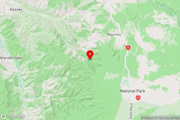
Ruapehu Introduction
Ruapehu is an active stratovolcano located in the Central North Island of New Zealand. It is the largest active volcano in New Zealand and one of the most active in the Southern Hemisphere. The mountain is known for its stunning landscapes, including the volcanic crater lake of Tongariro National Park, which is a popular destination for hiking and skiing. Ruapehu is also home to a diverse range of wildlife, including the rare and endangered North Island brown kiwi.Ruapehu Region
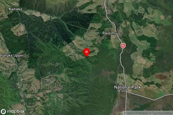
Ruapehu Satellite Map
Full Address
Ruapehu, Central North IslandRuapehu Coordinates
-39.1452335,175.354965 (Latitude / Longitude)Ruapehu Map in NZ
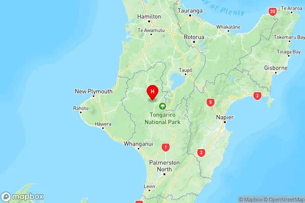
NZ Island
North IslandCountry
Ruapehu Suburbs (Sort by Population)
Ruapehu Suburbs (Sort in alphabetical)
Kakahi
Manunui
National Park
Ohakune
Ohura
Owhango
Raetihi
Ruapehu-King Country Surrounds
Taumarunui
Tongariro
Waimiha-Ongarue
Waiouru