Kakahi Suburbs & Region, Kakahi Map & Postcodes in Kakahi, Ruapehu, Central North Island
Kakahi Postcodes, Kakahi ZipCodes, Kakahi , Kakahi Central North Island, Kakahi Suburbs, Kakahi Region, Kakahi Map, Kakahi Area
Kakahi Region
Kakahi Suburbs
Kakahi is a suburb place type in Ruapehu, Central North Island, NZ. It contains 1 suburbs or localities.Kakahi district
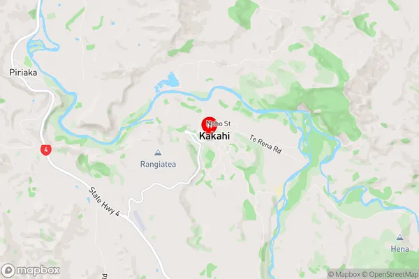
RuapehuKakahi Region Map
Kakahi Introduction
Kakahi is a small town located in the Central North Island of New Zealand. It is situated on the banks of the Kakahi River, approximately 120 kilometers north of Palmerston North. The town has a population of around 1,000 people and is known for its scenic surroundings, including the Kakahi Falls and the Kakahi Forest Park. The town is also home to a number of historic buildings, including the Kakahi Hotel, which was built in 1887. The Kakahi River is a popular spot for fishing and swimming, and the town is surrounded by a number of hiking and cycling trails.Kakahi Region
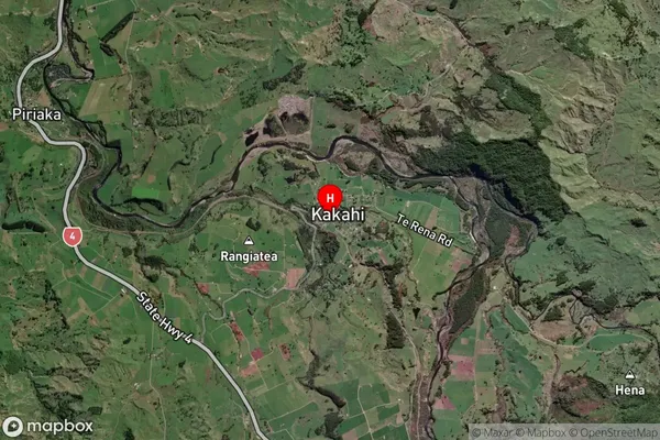
Kakahi Satellite Map
Full Address
Kakahi, Ruapehu, Central North IslandKakahi Coordinates
-38.9353042,175.3846055 (Latitude / Longitude)Kakahi Map in NZ
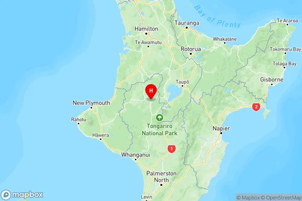
NZ Island
North IslandCountry
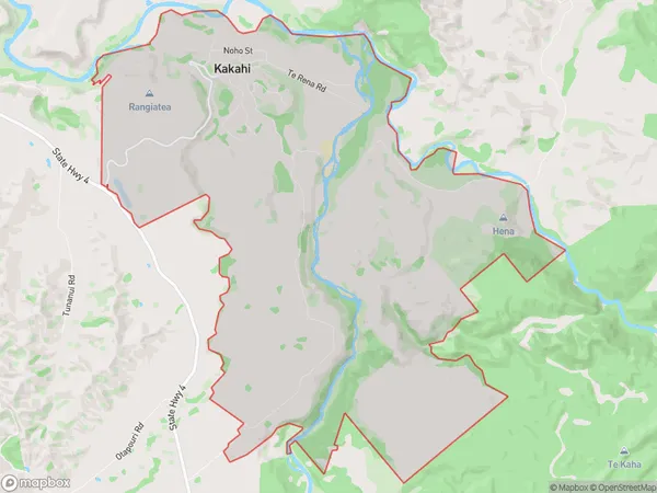
Kakahi Area Map (Polygon)
Name
KakahiAdditional Name
Local Authority
Ruapehu District
Kakahi Suburbs (Sort by Population)
Kakahi
Kakahi - 185