Kakahi Area, Kakahi Postcode & Map in Kakahi
Kakahi Area, Kakahi Postcode & Map in Kakahi, Ruapehu District, New Zealand
Kakahi, Ruapehu District, New Zealand
Kakahi Area (estimated)
31.0 square kilometersKakahi Population (estimated)
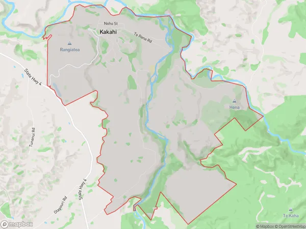
185 people live in Kakahi, Manawatu-Wanganui, NZKakahi Suburb Area Map (Polygon)
Kakahi Introduction
Kakahi is a small town in the Manawatu-Wanganui region of New Zealand. It is located on State Highway 3 and is about 35 kilometers north of Palmerston North. The town has a population of around 500 people and is known for its scenic surroundings and rural lifestyle. The Kakahi River flows through the town, and there are several parks and recreational facilities nearby. The town also has a primary school and a small supermarket.Region
0Suburb Name
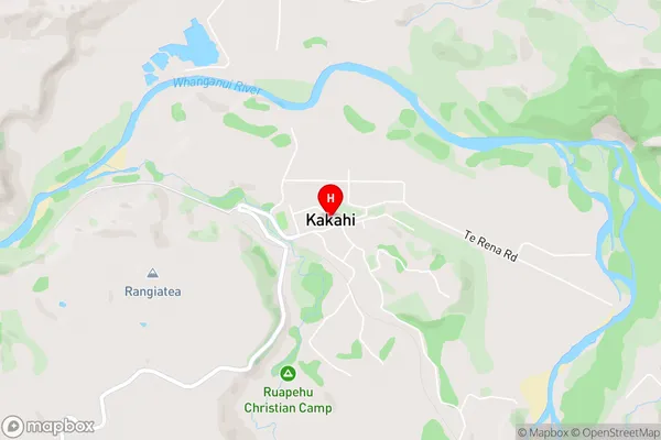
KakahiKakahi Area Map (Street)
Local Authority
Ruapehu DistrictFull Address
Kakahi, Ruapehu District, New ZealandAddress Type
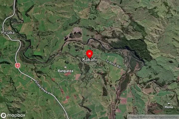
Locality in Major Locality KakahiKakahi Suburb Map (Satellite)
Country
Main Region in AU
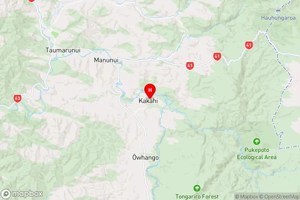
Manawatu-WanganuiKakahi Region Map
Coordinates
-38.9346108,175.3857978 (latitude/longitude)Distances
The distance from Kakahi, Kakahi, Ruapehu District to NZ Top 10 Cities