Waiouru Suburbs & Region, Waiouru Map & Postcodes in Waiouru, Ruapehu, Central North Island
Waiouru Postcodes, Waiouru ZipCodes, Waiouru , Waiouru Central North Island, Waiouru Suburbs, Waiouru Region, Waiouru Map, Waiouru Area
Waiouru Region
Waiouru Suburbs
Waiouru is a suburb place type in Ruapehu, Central North Island, NZ. It contains 2 suburbs or localities.Waiouru district
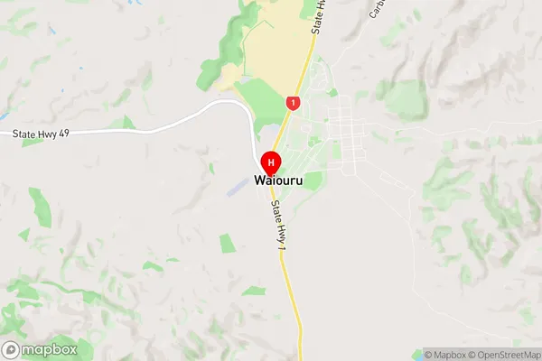
RuapehuWaiouru Region Map
Waiouru Introduction
Waiouru is a small town in the Central North Island of New Zealand, located on the banks of the Waiouru River. It is known for its hot springs, which have been used for therapeutic purposes since the 1880s. The town has a population of around 5,000 people and is a popular destination for tourists seeking relaxation and natural healing. Waiouru also has a rich military history, with several significant battles fought in the area during World War I and II. The town is home to the Waiouru Military Camp, which is a major training facility for the New Zealand Army.Waiouru Region
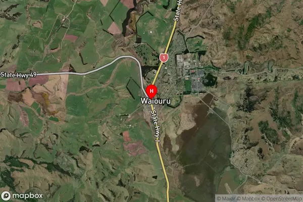
Waiouru Satellite Map
Full Address
Waiouru, Ruapehu, Central North IslandWaiouru Coordinates
-39.4772357,175.6683591 (Latitude / Longitude)Waiouru Map in NZ
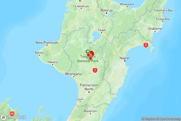
NZ Island
North IslandCountry
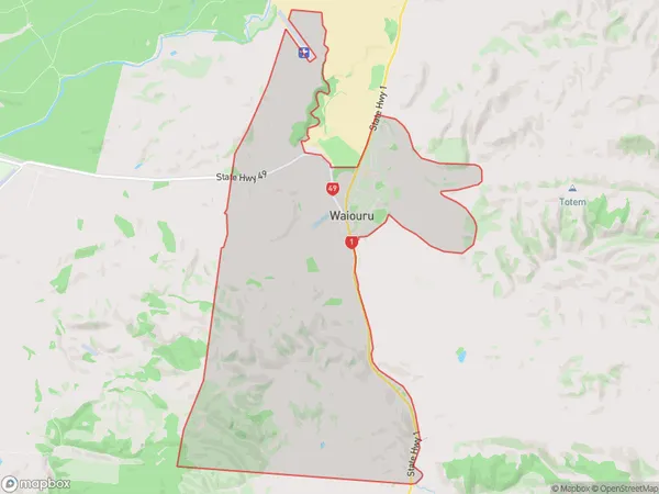
Waiouru Area Map (Polygon)
Name
WaiouruAdditional Name
Local Authority
Ruapehu District
Waiouru Suburbs (Sort by Population)
Waiouru
Waiouru - 773Waiouru Military Area