National Park Suburbs & Region, National Park Map & Postcodes in National Park, Ruapehu, Central North Island
National Park Postcodes, National Park ZipCodes, National Park , National Park Manawatu-Wanganui, National Park Suburbs, National Park Region, National Park Map, National Park Area
National Park Region (Ketetahi, Taurewa, Waikune Region)
National Park Suburbs
National Park is a suburb place type in Ruapehu, Central North Island, NZ. It contains 2 suburbs or localities.National Park Postcodes
National Park district
RuapehuNational Park Introduction
Manawatu-Wanganui is a region in the North Island of New Zealand. It is home to the National Park, which is a large area of land that is protected for its natural beauty and wildlife. The park is located in the central part of the region and covers an area of over 10,000 hectares. It is known for its stunning landscapes, including mountains, forests, rivers, and lakes. The park is home to a wide variety of animals and plants, including the rare and endangered kiwi bird. The park is also a popular destination for hiking, camping, and fishing.National Park Region
National Park City
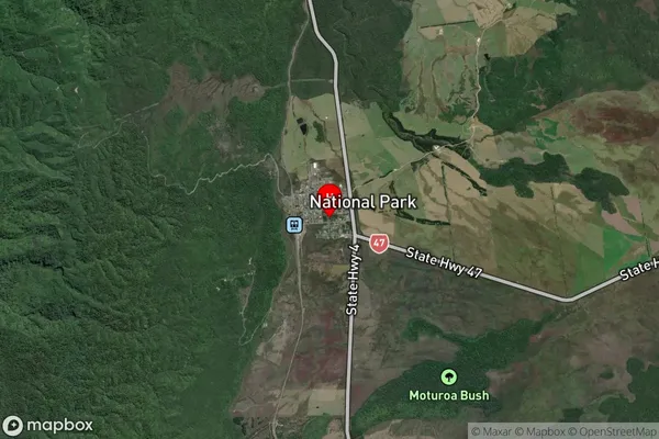
National Park Satellite Map

Full Address
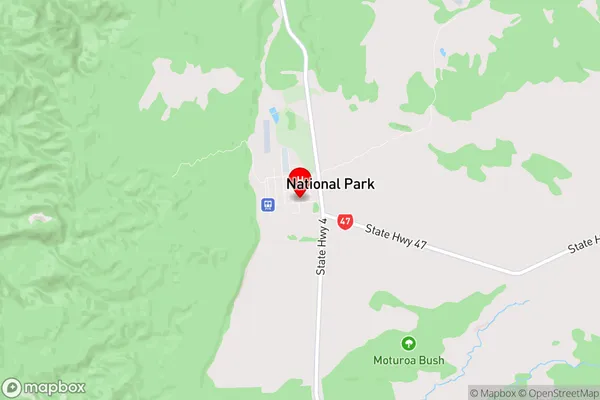
National Park, Ruapehu, Central North IslandNational Park Coordinates
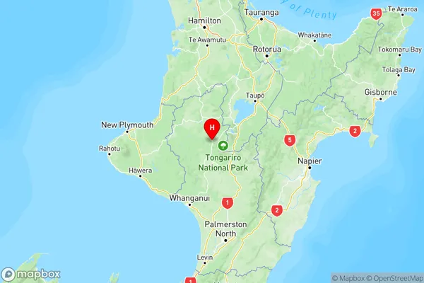
-39.174867,175.398496 (Latitude / Longitude)National Park Map in NZ

NZ Island
North IslandCountry
National Park Area Map (Polygon)
Not available for nowName
National ParkAdditional Name
Ketetahi, Taurewa, WaikuneLocal Authority
Ruapehu District
National Park Suburbs (Sort by Population)
National Park
National Park - 251Erua
Erua - 47
