Owhango Suburbs & Region, Owhango Map & Postcodes in Owhango, Manawatu-Wanganui
Owhango Postcodes, Owhango ZipCodes, Owhango , Owhango Manawatu-Wanganui, Owhango Suburbs, Owhango Region, Owhango Map, Owhango Area
Owhango Region (Hukapapa, Kawautahi, Oio Region)
Owhango Suburbs
Owhango is a city place type in Manawatu-Wanganui, NZ. It contains 4 suburbs or localities.Owhango Postcodes
Owhango Introduction
Owhango is a small town located in the Manawatu-Wanganui region of New Zealand. It is situated on the banks of the Owhango River and is known for its scenic beauty, including the Owhango Forest and the surrounding mountain ranges. The town has a population of around 1,000 people and is a popular destination for outdoor activities such as hiking, mountain biking, and fishing. It is also home to the Owhango Cheese Factory, which produces a variety of cheese products using milk from local cows. The town has a historic church, a primary school, and a small supermarket.Owhango Region
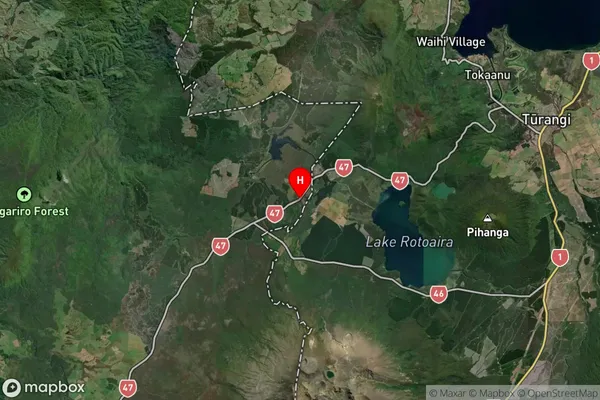
Owhango Satellite Map

Full Address
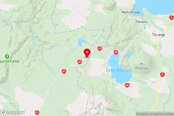
Owhango, Manawatu-WanganuiOwhango Coordinates
-39.031669,175.639801 (Latitude / Longitude)Owhango Map in NZ

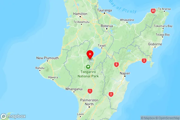
NZ Island
North IslandCountry
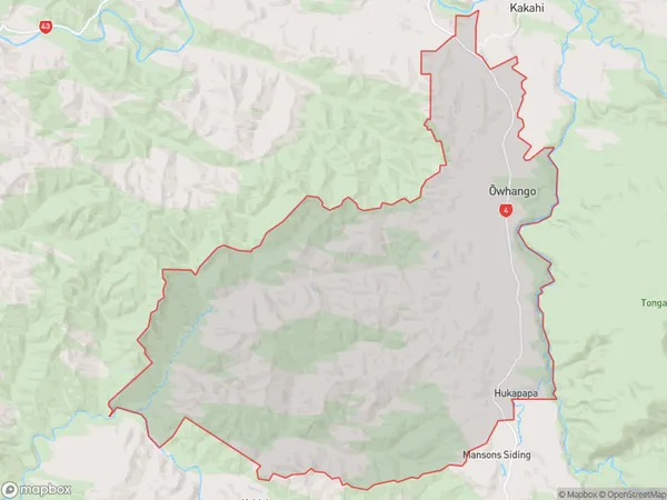
Owhango Area Map (Polygon)

Name
OwhangoAdditional Name
Hukapapa, Kawautahi, OioLocal Authority
Ruapehu District
