Kaitieke Area, Kaitieke Postcode(3990) & Map in Kaitieke
Kaitieke Area, Kaitieke Postcode(3990) & Map in Kaitieke, Ruapehu District, New Zealand
Kaitieke, Ruapehu District, New Zealand
Kaitieke Postcodes
Kaitieke Area (estimated)
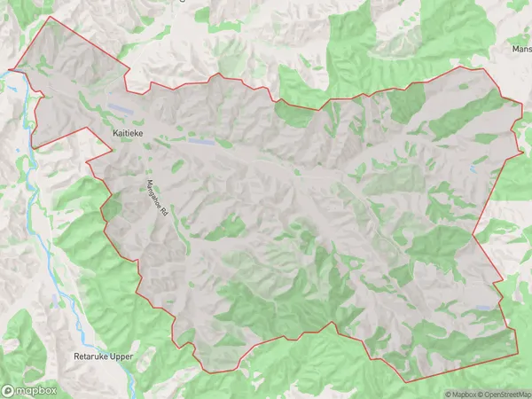
60.1 square kilometersKaitieke Population (estimated)
14 people live in Kaitieke, Manawatu-Wanganui, NZKaitieke Suburb Area Map (Polygon)
Kaitieke Introduction
Kaitieke is a small rural community located in the Owhango region of Manawatu-Wanganui, New Zealand. It is known for its stunning natural scenery, including the Kaitieke Forest and the Kaitieke River. The community has a strong sense of community and a variety of recreational activities, including hiking, fishing, and cycling. Kaitieke is also home to a number of historic buildings, including the Kaitieke Church and the Kaitieke Post Office.Region
Major City
Suburb Name
KaitiekeOther Name(s)
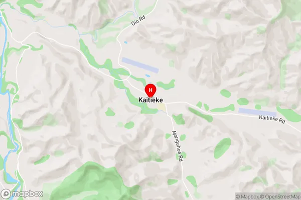
KaitekeKaitieke Area Map (Street)
Local Authority
Ruapehu DistrictFull Address
Kaitieke, Ruapehu District, New ZealandAddress Type
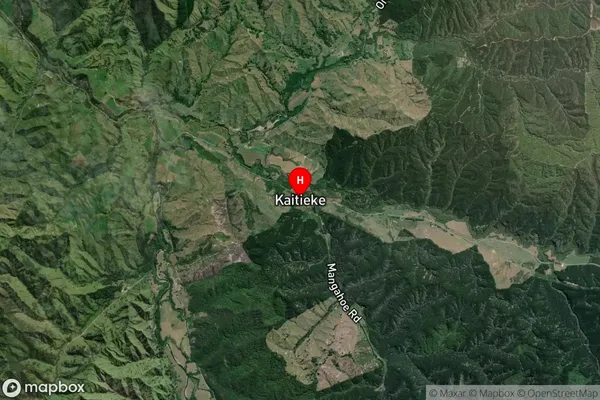
Locality in Major Locality OwhangoKaitieke Suburb Map (Satellite)
Country
Main Region in AU
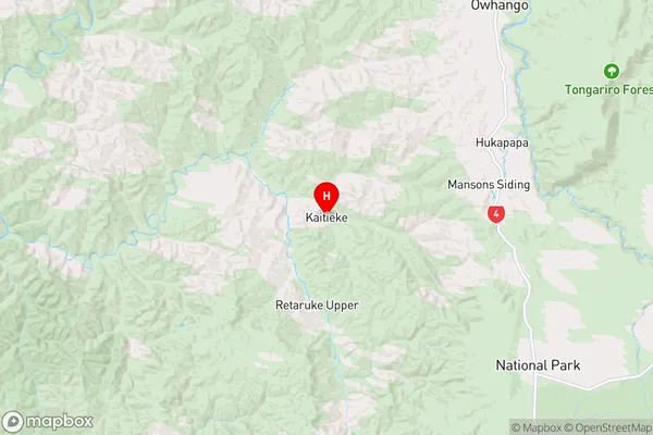
Manawatu-WanganuiKaitieke Region Map
Coordinates
-39.1003515,175.2704075 (latitude/longitude)Distances
The distance from Kaitieke, Owhango, Ruapehu District to NZ Top 10 Cities