Retaruke Area, Retaruke Postcode & Map in Retaruke
Retaruke Area, Retaruke Postcode & Map in Retaruke, Ruapehu District, New Zealand
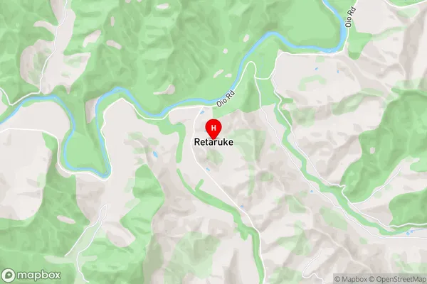
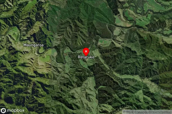
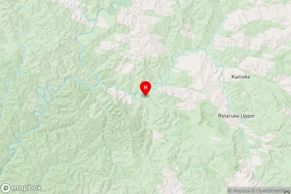
Retaruke, Ruapehu District, New Zealand
Retaruke Area (estimated)
-1.2 square kilometersRetaruke Population (estimated)
89 people live in Retaruke, Manawatu-Wanganui, NZRetaruke Suburb Area Map (Polygon)
Not available for nowRetaruke Introduction
Retaruke is a small rural community located in the Owhango region of the Manawatu-Wanganui region in New Zealand. It is situated on the banks of the Owhango River and is known for its scenic beauty and peaceful atmosphere. The community has a population of around 100 people and is home to a primary school, a church, and a few small businesses.Region
Major City
Suburb Name
RetarukeOther Name(s)
Maungaroa, Retaruke Upper, Upper Retaruke, WhakahoroRetaruke Area Map (Street)
Local Authority
Ruapehu DistrictFull Address
Retaruke, Ruapehu District, New ZealandAddress Type
Locality in Major Locality OwhangoRetaruke Suburb Map (Satellite)
Country
Main Region in AU
Manawatu-WanganuiRetaruke Region Map
Coordinates
-39.12263,175.13533 (latitude/longitude)Distances
The distance from Retaruke, Owhango, Ruapehu District to NZ Top 10 Cities