Raurimu Area, Raurimu Postcode(3989) & Map in Raurimu
Raurimu Area, Raurimu Postcode(3989) & Map in Raurimu, Ruapehu District, New Zealand
Raurimu, Ruapehu District, New Zealand
Raurimu Postcodes
Raurimu Area (estimated)
35.2 square kilometersRaurimu Population (estimated)
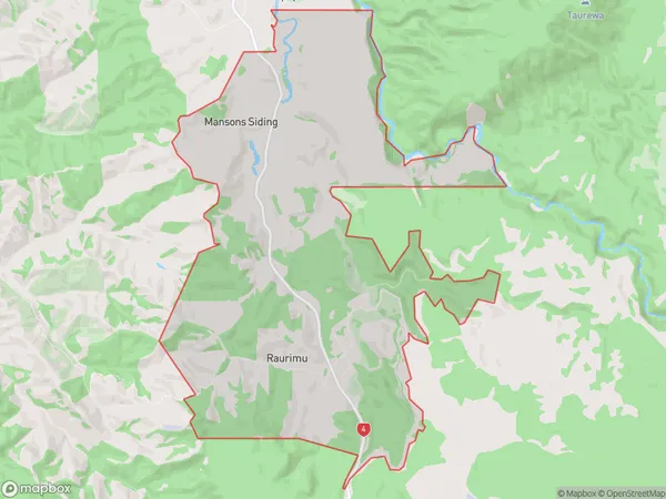
132 people live in Raurimu, Manawatu-Wanganui, NZRaurimu Suburb Area Map (Polygon)
Raurimu Introduction
Raurimu is a small rural settlement located in the Owhango region of Manawatu-Wanganui, New Zealand. It is situated on State Highway 3, approximately 30 kilometers north of Wanganui City and 120 kilometers south of Palmerston North. The area is known for its scenic landscapes, including the Raurimu Spit and the surrounding hills and forests. Raurimu has a population of around 100 people and is home to a primary school, a post office, and a small community hall. The settlement is surrounded by farmland and has a peaceful, rural atmosphere.Region
Major City
Suburb Name
RaurimuOther Name(s)
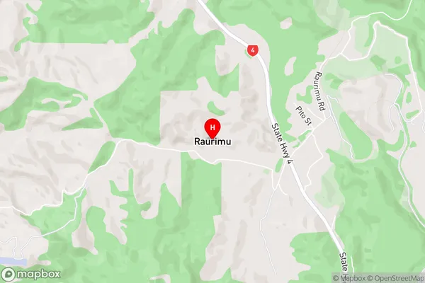
Mansons SidingRaurimu Area Map (Street)
Local Authority
Ruapehu DistrictFull Address
Raurimu, Ruapehu District, New ZealandAddress Type
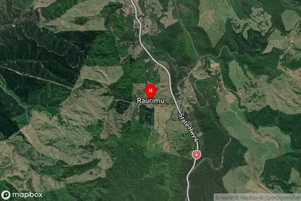
Locality in Major Locality OwhangoRaurimu Suburb Map (Satellite)
Country
Main Region in AU
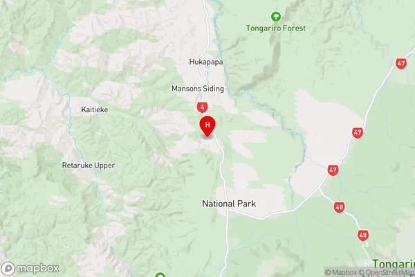
Manawatu-WanganuiRaurimu Region Map
Coordinates
-39.12263,175.38252 (latitude/longitude)Distances
The distance from Raurimu, Owhango, Ruapehu District to NZ Top 10 Cities