Owhango Suburbs & Region, Owhango Map & Postcodes in Owhango, Ruapehu, Central North Island
Owhango Postcodes, Owhango ZipCodes, Owhango , Owhango Central North Island, Owhango Suburbs, Owhango Region, Owhango Map, Owhango Area
Owhango Region (Hukapapa, Kawautahi, Oio Region)
Owhango Suburbs
Owhango is a suburb place type in Ruapehu, Central North Island, NZ. It contains 4 suburbs or localities.Owhango district
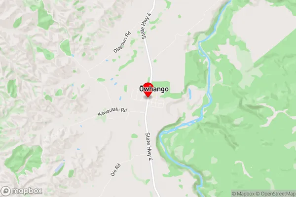
RuapehuOwhango Region Map
Owhango Introduction
Owhango is a small town located in the Central North Island of New Zealand. It is situated on the banks of the Ohinemuri River and is known for its stunning natural scenery, including waterfalls, volcanic cones, and geothermal areas. The town has a population of around 1,000 people and is a popular destination for outdoor enthusiasts and tourists. It is also home to the Owhango Forest Park, which is a conservation area covering over 10,000 hectares of native forest. The town is surrounded by beautiful countryside and is an ideal base for exploring the surrounding region, including the Tongariro National Park and the Taranaki Volcanoes.Owhango Region
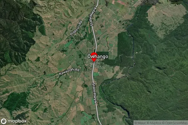
Owhango Satellite Map
Full Address
Owhango, Ruapehu, Central North IslandOwhango Coordinates
-38.998574,175.3775187 (Latitude / Longitude)Owhango Map in NZ
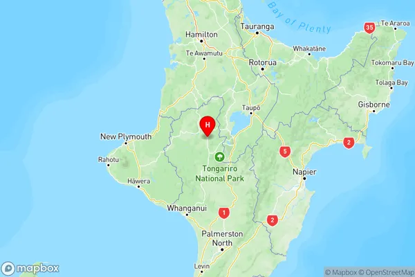
NZ Island
North IslandCountry
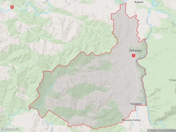
Owhango Area Map (Polygon)
Name
OwhangoAdditional Name
Hukapapa, Kawautahi, OioLocal Authority
Ruapehu District