Ruapehu-King Country Surrounds Suburbs & Region, Ruapehu-King Country Surrounds Map & Postcodes in Ruapehu-King Country Surrounds, Ruapehu, Central North Island
Ruapehu-King Country Surrounds Postcodes, Ruapehu-King Country Surrounds ZipCodes, Ruapehu-King Country Surrounds , Ruapehu-King Country Surrounds Central North Island, Ruapehu-King Country Surrounds Suburbs, Ruapehu-King Country Surrounds Region, Ruapehu-King Country Surrounds Map, Ruapehu-King Country Surrounds Area
Ruapehu-King Country Surrounds Region
Ruapehu-King Country Surrounds Suburbs
Ruapehu-King Country Surrounds is a suburb place type in Ruapehu, Central North Island, NZ. It contains 0 suburbs or localities.Ruapehu-King Country Surrounds district
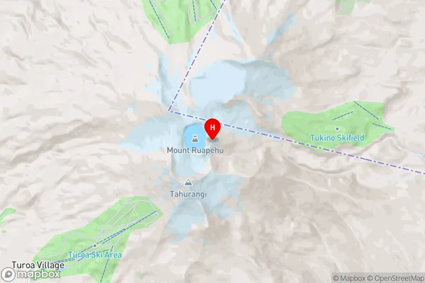
RuapehuRuapehu-King Country Surrounds Region Map

Ruapehu-King Country Surrounds Introduction
Ruapehu-King Country Surrounds is a region in Central North Island, New Zealand, known for its stunning natural landscapes, including the volcanic cone of Ruapehu, the Tongariro National Park, and the Ohakune Forest. The area is a popular destination for outdoor activities such as hiking, skiing, and mountain biking, with numerous trails and tracks to explore. The region is also home to a variety of wildlife, including kea, tui, and kiwi birds. The surrounding towns of Ohakune, Turangi, and Raetihi are popular tourist destinations, offering a range of accommodations, restaurants, and attractions.Ruapehu-King Country Surrounds Region
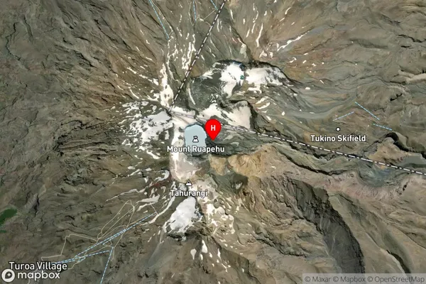
Ruapehu-King Country Surrounds Satellite Map

Full Address
Ruapehu-King Country Surrounds, Ruapehu, Central North IslandRuapehu-King Country Surrounds Coordinates
-39.2817207,175.5685104 (Latitude / Longitude)Ruapehu-King Country Surrounds Map in NZ

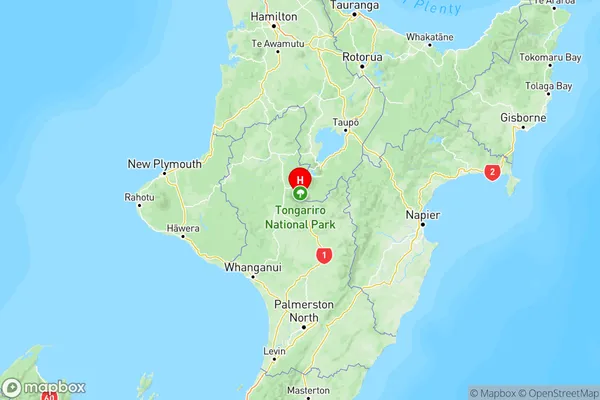
NZ Island
North IslandCountry