Otorohanga Suburbs & Region, Otorohanga Map & Postcodes in Otorohanga, Otorohanga, Waikato
Otorohanga Postcodes, Otorohanga ZipCodes, Otorohanga , Otorohanga Waikato, Otorohanga Suburbs, Otorohanga Region, Otorohanga Map, Otorohanga Area
Otorohanga Region (Awatane, Kahotea, Kiokio, Mangaorongo, Te Raumauku, Whawharua Region)
Otorohanga Suburbs
Otorohanga is a suburb place type in Otorohanga, Waikato, NZ. It contains 7 suburbs or localities.Otorohanga Region Map
Otorohanga Introduction
Otorohanga is a small town located in the Waikato region of New Zealand. It is known for its rich history, stunning natural scenery, and vibrant cultural community. The town is situated on the banks of the Otorohanga River and is surrounded by picturesque farmland and native forests. It is home to a number of historic buildings, including the Otorohanga College, which was founded in 1867. The town also hosts a number of annual events, including the Otorohanga Kiwi Festival, which attracts thousands of visitors each year.Otorohanga Region
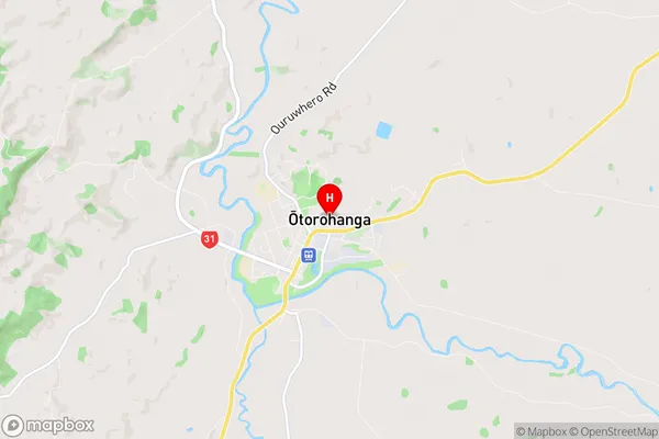
Otorohanga City
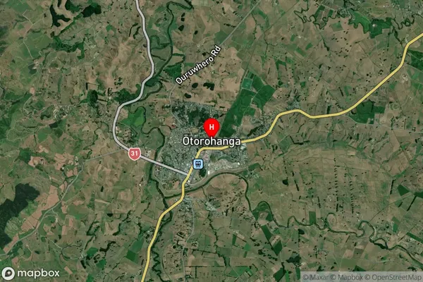
Otorohanga Satellite Map
Full Address
Otorohanga, Otorohanga, WaikatoOtorohanga Coordinates
-38.182301,175.215514 (Latitude / Longitude)Otorohanga Map in NZ
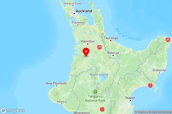
NZ Island
North IslandCountry
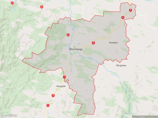
Otorohanga Area Map (Polygon)
Name
OtorohangaAdditional Name
Awatane, Kahotea, Kiokio, Mangaorongo, Te Raumauku, WhawharuaLocal Authority
Otorohanga District (Maori Name: Ōtorohanga District)
Otorohanga Suburbs (Sort by Population)
Otorohanga
Otorohanga - 5635Maihiihi
Maihiihi - 443Otewa
Otewa - 390Honikiwi
Honikiwi - 238Tihiroa
Tihiroa - 150Waimahora
Waimahora - 53Te Rauamoa
Te Rauamoa - 29