Honikiwi Area, Honikiwi Postcode(3973) & Map in Honikiwi
Honikiwi Area, Honikiwi Postcode(3973) & Map in Honikiwi, Otorohanga District, New Zealand
Honikiwi, Otorohanga District, New Zealand
Honikiwi Postcodes
Honikiwi Area (estimated)
-1.2 square kilometersHonikiwi Population (estimated)
238 people live in Honikiwi, Waikato, NZHonikiwi Suburb Area Map (Polygon)
Not available for nowHonikiwi Introduction
Honikiwi is a small rural town located in the Waikato region of New Zealand. It is known for its beautiful natural surroundings, including the Honikiwi Forest and the Waikato River. The town has a population of around 1,000 people and is a popular destination for outdoor enthusiasts and nature lovers. It is also home to a number of historic buildings, including the Honikiwi Church and the Honikiwi Hotel.Region
Major City
Suburb Name
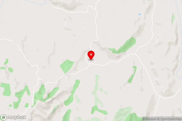
HonikiwiHonikiwi Area Map (Street)
Local Authority
Otorohanga District (Maori Name: Ōtorohanga District)Full Address
Honikiwi, Otorohanga District, New ZealandAddress Type
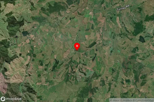
Locality in Town OtorohangaHonikiwi Suburb Map (Satellite)
Country
Main Region in AU
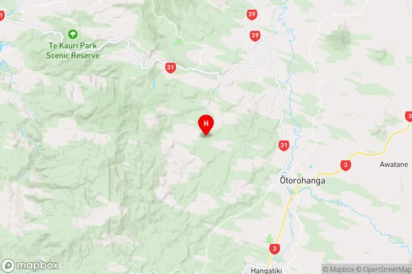
WaikatoHonikiwi Region Map
Coordinates
-38.1480573,175.1189804 (latitude/longitude)Distances
The distance from Honikiwi, Otorohanga, Otorohanga District to NZ Top 10 Cities