Otorohanga Area, Otorohanga Postcode(3900) & Map in Otorohanga
Otorohanga Area, Otorohanga Postcode(3900) & Map in Otorohanga, Otorohanga District, New Zealand
Otorohanga, Otorohanga District, New Zealand
Otorohanga Area (estimated)
296.8 square kilometersOtorohanga Population (estimated)
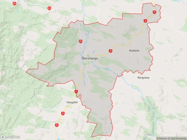
5635 people live in Otorohanga, Waikato, NZOtorohanga Suburb Area Map (Polygon)
Otorohanga Introduction
Otorohanga is a small town in Waikato, New Zealand, known for its rich history and cultural heritage. It is located on the banks of the Otorohanga River and is home to the Otorohanga Kiwi House and Native Bird Park. The town is also a popular destination for tourists, with many attractions and activities to enjoy.Region
Major City
Suburb Name
Otorohanga (Maori Name: Ōtorohanga)Other Name(s)
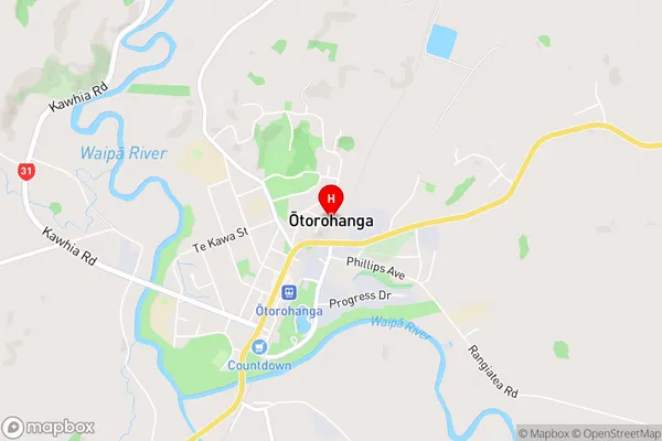
Awatane, Kahotea, Kiokio, Mangaorongo, Te Raumauku, WhawharuaOtorohanga Area Map (Street)
Local Authority
Otorohanga District (Maori Name: Ōtorohanga District)Full Address
Otorohanga, Otorohanga District, New ZealandAddress Type
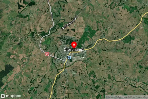
Suburb in Town OtorohangaOtorohanga Suburb Map (Satellite)
Country
Main Region in AU
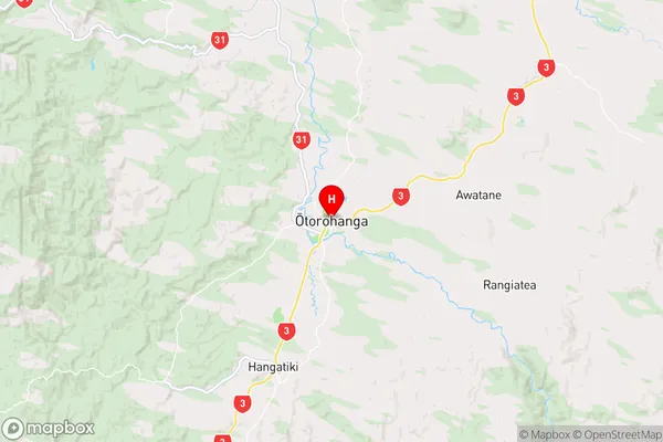
WaikatoOtorohanga Region Map
Coordinates
-38.1823014,175.2155142 (latitude/longitude)Distances
The distance from Otorohanga, Otorohanga, Otorohanga District to NZ Top 10 Cities