Waimahora Area, Waimahora Postcode(3900) & Map in Waimahora
Waimahora Area, Waimahora Postcode(3900) & Map in Waimahora, Otorohanga District, New Zealand
Waimahora, Otorohanga District, New Zealand
Waimahora Postcodes
Waimahora Area (estimated)
-1.2 square kilometersWaimahora Population (estimated)
53 people live in Waimahora, Waikato, NZWaimahora Suburb Area Map (Polygon)
Not available for nowWaimahora Introduction
Waimahora is a small rural town in the Waikato region of New Zealand, located about 35 km south of Otorohanga. It is known for its beautiful natural surroundings, including the Waimahora Forest Park, which is a popular destination for hiking and mountain biking. The town also has a primary school, a post office, and a small supermarket. Waimahora is surrounded by farmland and has a peaceful, rural atmosphere.Region
Major City
Suburb Name
WaimahoraOther Name(s)
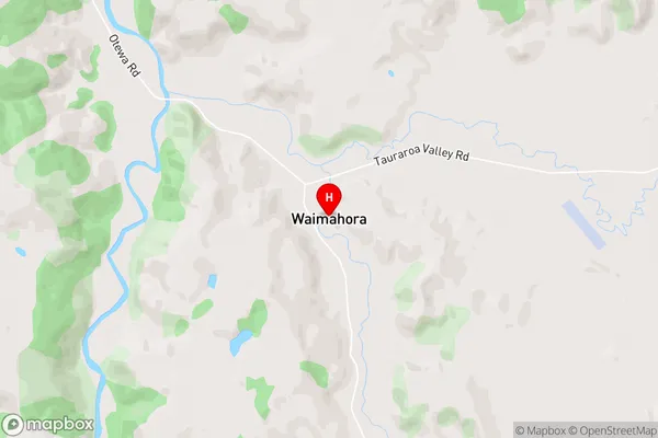
Toa BridgeWaimahora Area Map (Street)
Local Authority
Otorohanga District (Maori Name: Ōtorohanga District)Full Address
Waimahora, Otorohanga District, New ZealandAddress Type
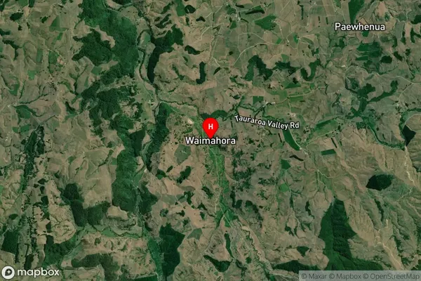
Locality in Town OtorohangaWaimahora Suburb Map (Satellite)
Country
Main Region in AU
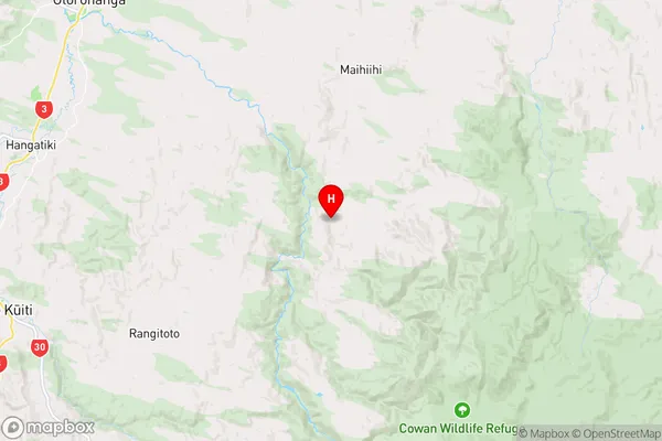
WaikatoWaimahora Region Map
Coordinates
-38.29042,175.36604 (latitude/longitude)Distances
The distance from Waimahora, Otorohanga, Otorohanga District to NZ Top 10 Cities