Tihiroa Area, Tihiroa Postcode(3900) & Map in Tihiroa
Tihiroa Area, Tihiroa Postcode(3900) & Map in Tihiroa, Otorohanga District, New Zealand
Tihiroa, Otorohanga District, New Zealand
Tihiroa Postcodes
Tihiroa Area (estimated)
24.8 square kilometersTihiroa Population (estimated)
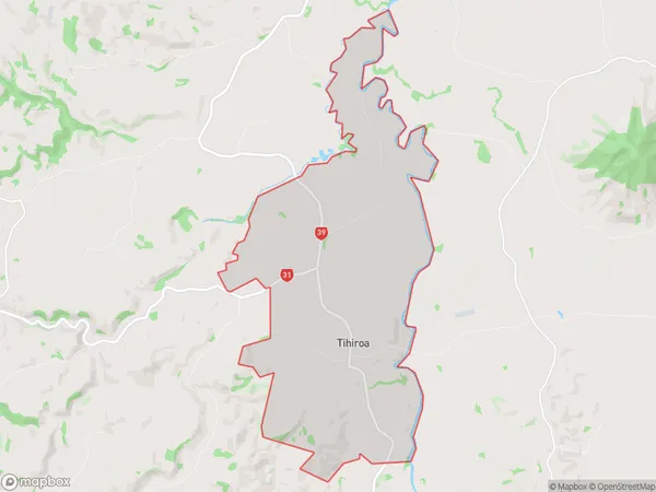
150 people live in Tihiroa, Waikato, NZTihiroa Suburb Area Map (Polygon)
Tihiroa Introduction
Tihiroa is a small rural town located in the Waikato region of New Zealand. It is known for its beautiful natural surroundings, including the Tihiroa Forest and the Waikato River. The town has a population of around 1,000 people and is a popular destination for outdoor enthusiasts and nature lovers. It is also home to a number of historic buildings, including the Tihiroa Hotel, which was built in the 1880s.Region
Major City
Suburb Name
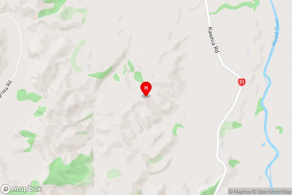
TihiroaTihiroa Area Map (Street)
Local Authority
Otorohanga District (Maori Name: Ōtorohanga District)Full Address
Tihiroa, Otorohanga District, New ZealandAddress Type
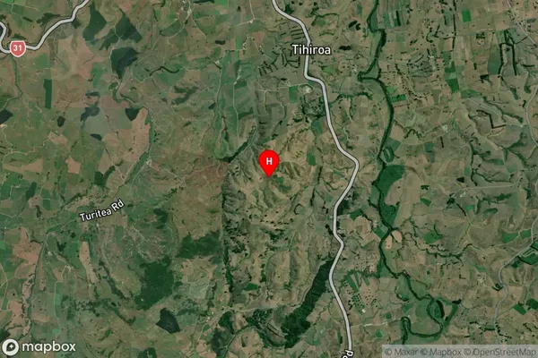
Locality in Town OtorohangaTihiroa Suburb Map (Satellite)
Country
Main Region in AU
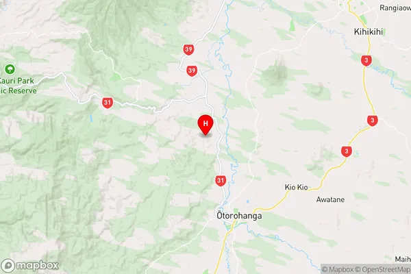
WaikatoTihiroa Region Map
Coordinates
-38.120331,175.181711 (latitude/longitude)Distances
The distance from Tihiroa, Otorohanga, Otorohanga District to NZ Top 10 Cities