Paeroa Suburbs & Region, Paeroa Map & Postcodes in Paeroa, Hauraki, Waikato
Paeroa Postcodes, Paeroa ZipCodes, Paeroa , Paeroa Waikato, Paeroa Suburbs, Paeroa Region, Paeroa Map, Paeroa Area
Paeroa Region (Te Moananui, Tiahai Region)
Paeroa Suburbs
Paeroa is a city place type in Hauraki, Waikato, NZ. It contains 7 suburbs or localities.Paeroa district
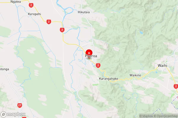
HaurakiPaeroa Region Map
Paeroa Introduction
Paeroa is a town in the Waikato region of New Zealand's North Island. It is situated on the banks of the Paeroa River and is known for its historic buildings, including the Paeroa Hotel, which is one of the country's oldest hotels. The town also has a popular brewery, a golf course, and a variety of outdoor activities such as hiking, cycling, and fishing. Paeroa is a popular tourist destination and is home to a number of festivals and events throughout the year, including the Paeroa Vintage Car Rally and the Paeroa Food and Wine Festival.Paeroa Region
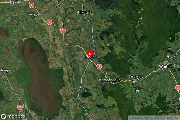
Paeroa Satellite Map
Full Address
Paeroa, Hauraki, WaikatoPaeroa Coordinates
-37.380467,175.670426 (Latitude / Longitude)Paeroa Map in NZ
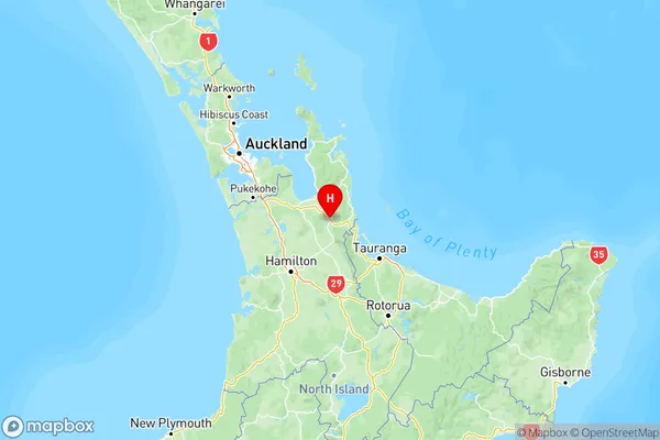
NZ Island
North IslandCountry
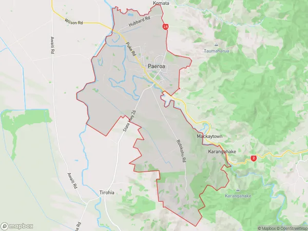
Paeroa Area Map (Polygon)
Name
PaeroaAdditional Name
Te Moananui, TiahaiLocal Authority
Hauraki District