Netherton Area, Netherton Postcode(3671) & Map in Netherton
Netherton Area, Netherton Postcode(3671) & Map in Netherton, Hauraki District, New Zealand
Netherton, Hauraki District, New Zealand
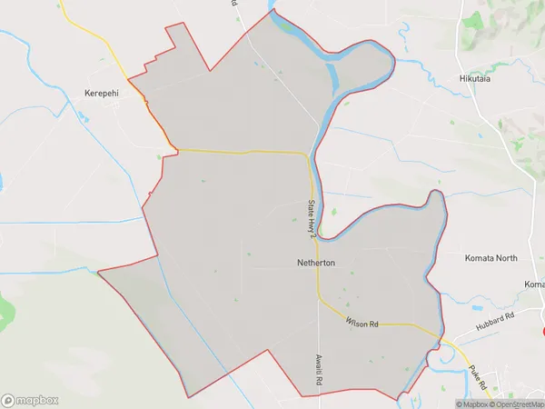
Netherton Area (estimated)
72.6 square kilometersNetherton Population (estimated)
557 people live in Netherton, Waikato, NZNetherton Suburb Area Map (Polygon)
Netherton Introduction
Netherton is a small town in Waikato, New Zealand, with a population of around 3,000 people. It is known for its historic buildings, including the Netherton Hotel, which was built in 1887. The town is also home to a variety of businesses, including a dairy factory and a coal-fired power station. Netherton is located on the banks of the Waikato River, and is a popular destination for fishing and boating.Region
Major City
Suburb Name
NethertonOther Name(s)
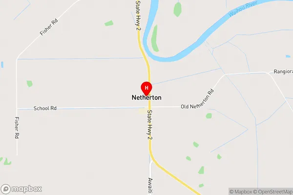
Awaiti NorthNetherton Area Map (Street)
Local Authority
Hauraki DistrictFull Address
Netherton, Hauraki District, New ZealandAddress Type
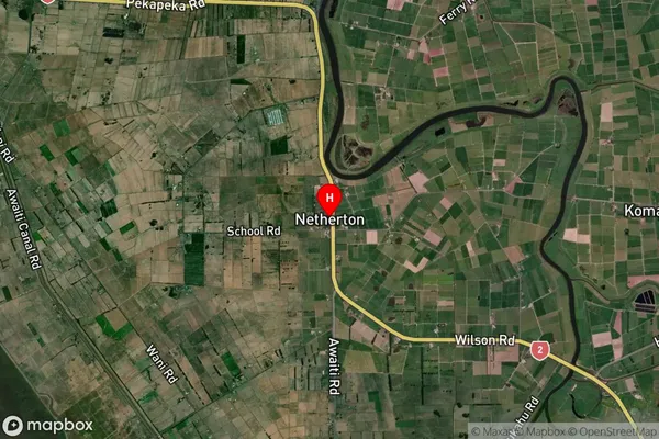
Locality in Town PaeroaNetherton Suburb Map (Satellite)
Country
Main Region in AU
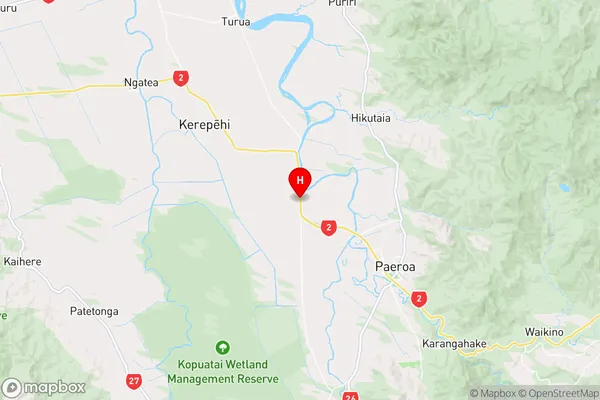
WaikatoNetherton Region Map
Coordinates
-37.3384224,175.6097724 (latitude/longitude)Distances
The distance from Netherton, Paeroa, Hauraki District to NZ Top 10 Cities