Paeroa Area, Paeroa Postcode(3600) & Map in Paeroa
Paeroa Area, Paeroa Postcode(3600) & Map in Paeroa, Hauraki District, New Zealand
Paeroa, Hauraki District, New Zealand
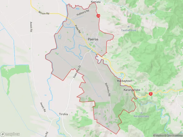
Paeroa Area (estimated)
53.6 square kilometersPaeroa Population (estimated)
5223 people live in Paeroa, Waikato, NZPaeroa Suburb Area Map (Polygon)
Paeroa Introduction
Paeroa is a town in the Waikato region of New Zealand, known for its historic buildings, scenic beauty, and strong community spirit. It is located on the banks of the Paeroa River and is home to a variety of industries, including farming, manufacturing, and tourism. The town has a population of around 30,000 people and is a popular destination for tourists and locals alike.Region
Major City
Suburb Name
PaeroaOther Name(s)
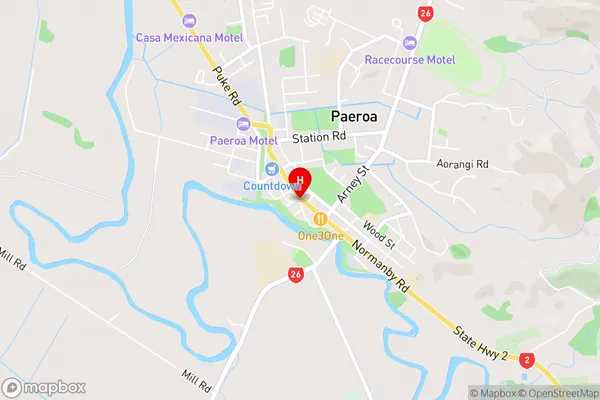
Te Moananui, TiahaiPaeroa Area Map (Street)
Local Authority
Hauraki DistrictFull Address
Paeroa, Hauraki District, New ZealandAddress Type
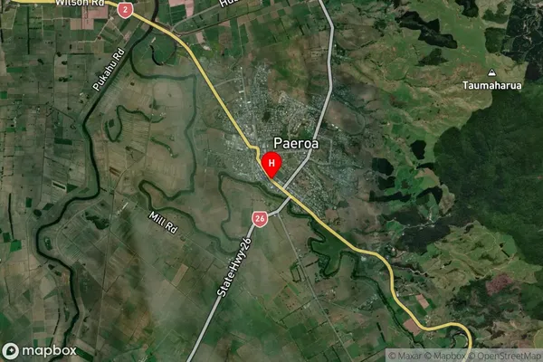
Suburb in Town PaeroaPaeroa Suburb Map (Satellite)
Country
Main Region in AU
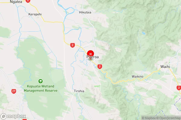
WaikatoPaeroa Region Map
Coordinates
-37.3804671,175.6704263 (latitude/longitude)Distances
The distance from Paeroa, Paeroa, Hauraki District to NZ Top 10 Cities