Komata Suburbs & Region, Komata Map & Postcodes in Komata, Paeroa, Waikato
Komata Postcodes, Komata ZipCodes, Komata , Komata Waikato, Komata Suburbs, Komata Region, Komata Map, Komata Area
Komata Region (Komata North, Komata Reefs Region)
Komata Suburbs
Komata is a suburb place type in Paeroa, Waikato, NZ. It contains 0 suburbs or localities.Komata Postcodes
Komata district
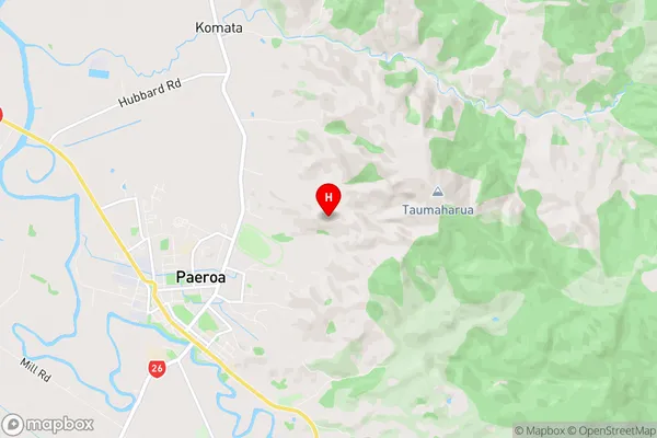
HaurakiKomata Region Map
Komata Introduction
Komata is a small town in the Waikato region of New Zealand. It is located on State Highway 1, approximately 30 kilometers south of Hamilton. The town has a population of around 500 people and is known for its scenic surroundings, including the Komata River and the surrounding hills. The town has a primary school, a post office, a convenience store, and a few cafes and restaurants. The surrounding area is popular for outdoor activities such as hiking, cycling, and fishing, and the town is a popular stopping point for tourists traveling between Hamilton and the Bay of Islands.Komata Region
Komata City
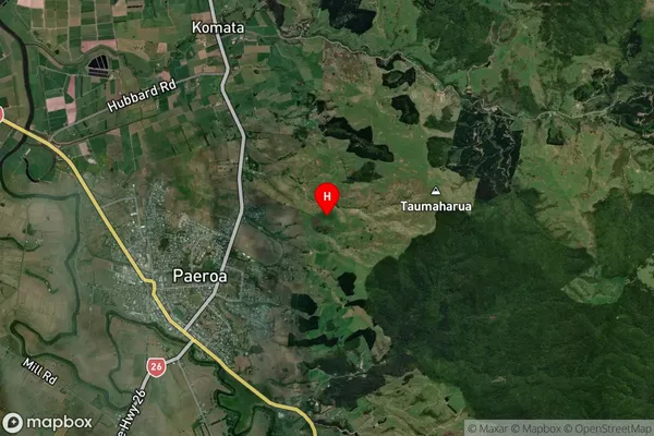
Komata Satellite Map
Full Address
Komata, Paeroa, WaikatoKomata Coordinates
-37.367525,175.695101 (Latitude / Longitude)Komata Map in NZ
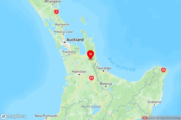
NZ Island
North IslandCountry
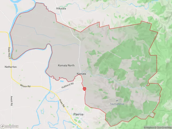
Komata Area Map (Polygon)
Name
KomataAdditional Name
Komata North, Komata ReefsLocal Authority
Hauraki District
Komata Suburbs (Sort by Population)
Komata also known as Komata North, Komata Reefs. Komata suburb has around
86.2 square
kilometers.There are more than 386 people (estimated)
live in Komata, Paeroa, Waikato, New Zealand.