Komata Area, Komata Postcode(3600) & Map in Komata
Komata Area, Komata Postcode(3600) & Map in Komata, Hauraki District, New Zealand
Komata, Hauraki District, New Zealand
Komata Area (estimated)
86.2 square kilometersKomata Population (estimated)
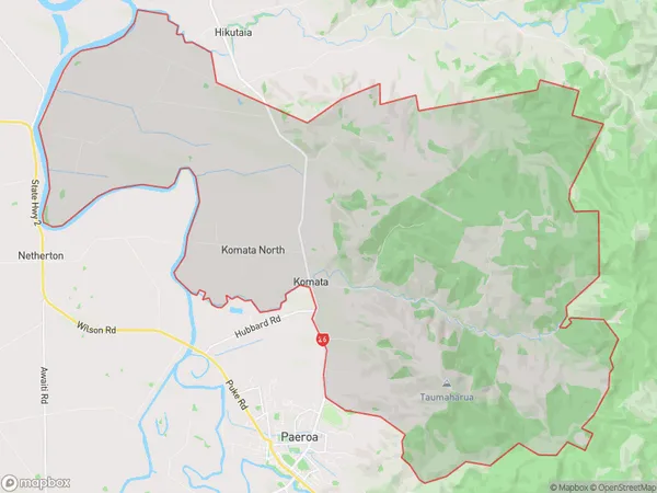
386 people live in Komata, Waikato, NZKomata Suburb Area Map (Polygon)
Komata Introduction
Komata is a small town located in the Waikato region of New Zealand. It is known for its historic coal mining industry and the beautiful surrounding countryside. The town has a population of around 1,000 people and is situated on the banks of the Waikato River. Komata also has a popular golf course and a community hall.Region
Major City
Suburb Name
KomataOther Name(s)
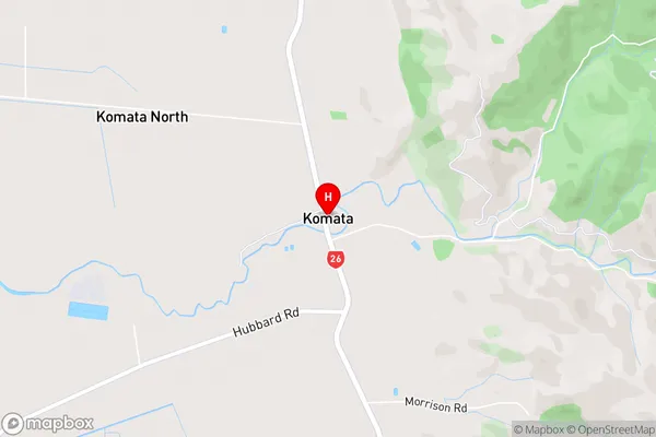
Komata North, Komata ReefsKomata Area Map (Street)
Local Authority
Hauraki DistrictFull Address
Komata, Hauraki District, New ZealandAddress Type
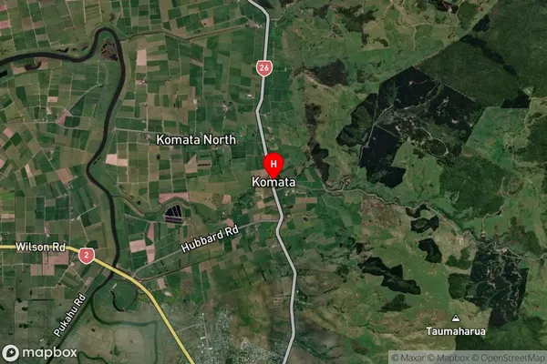
Locality in Town PaeroaKomata Suburb Map (Satellite)
Country
Main Region in AU
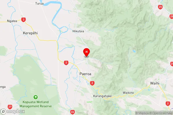
WaikatoKomata Region Map
Coordinates
-37.3436774,175.677915 (latitude/longitude)Distances
The distance from Komata, Paeroa, Hauraki District to NZ Top 10 Cities